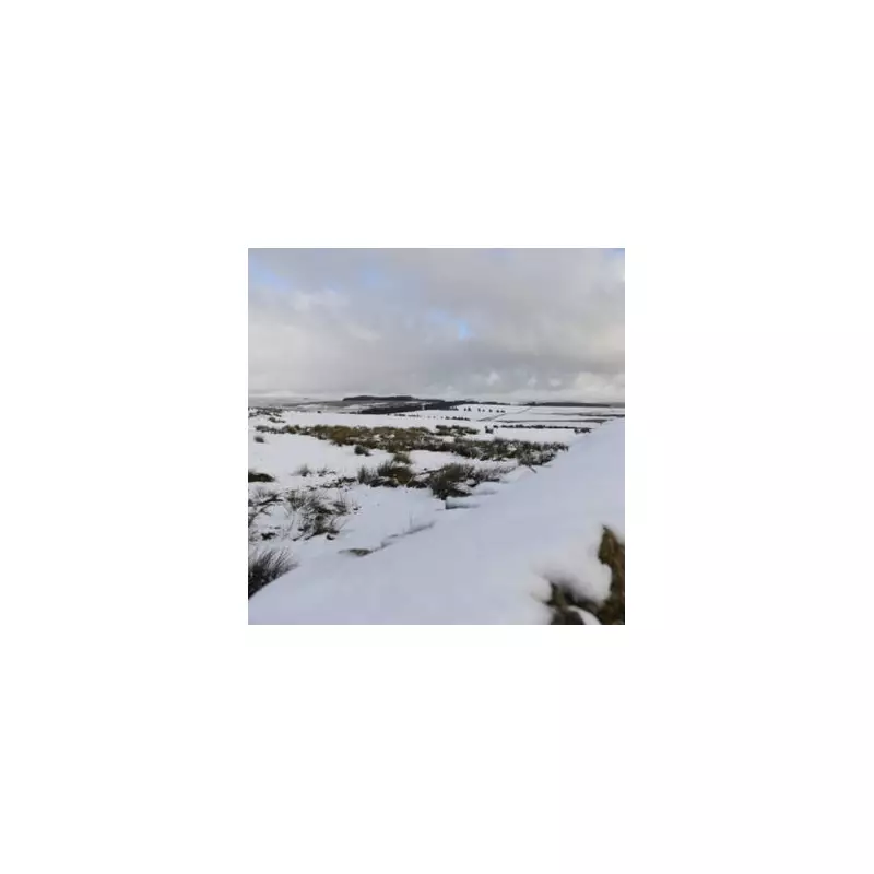
The UK is braced for a significant cold snap, with forecasters warning of widespread snow and a severe -9C freeze affecting numerous parts of England. New weather maps indicate that blizzards could strike as far south as Plymouth, with up to 20cm of snow expected in some regions.
Regions Bracing for Impact
According to data from WX Charts and Met Desk using advanced GFS modelling, the white stuff is set to cover most of Scotland, but the cold front will also sweep across the Midlands and southern England. The projections, made on Wednesday, November 19, show a dramatic drop in temperatures, potentially reaching a biting -9C at times.
On Wednesday, snow is anticipated across the North East and the Midlands, impacting major cities including Birmingham, Leicester, Derby, Nottingham, and Sheffield. By 9am, eastern parts of England could also see snowfall, with intensifying flurries in Cumbria, Northumberland, Durham, and Yorkshire.

Snowfall Peaks and Forecast Details
By midday, the Scottish Highlands, particularly the Cairngorms area between Inverness and Aberdeen, could be blanketed by up to 20cm of snow. Northern England, specifically the North East and Northern Midlands, is also expected to receive a dusting.
The Met Office forecast outlines an "icy start for some", with rain and hill snow clearing southeastwards through the morning. The day will then turn drier and brighter, but frequent and blustery wintry showers will continue for areas exposed to the cold northerly wind, bringing further accumulations, especially over high ground. A widespread frost is expected overnight.
Looking Ahead to the Weekend
For Thursday, the forecast predicts sunny spells with wintry showers, particularly affecting some North Sea coasts. These showers are expected to ease during the day with lighter winds in the afternoon, but it will remain cold for all with another widespread overnight frost.
The outlook from Friday to Sunday suggests a change, with rain and cloud spreading from the west on Friday and Saturday. The weekend will turn less cold, but further outbreaks of rain are likely on Sunday, interspersed with some brighter spells.
The following local authorities are affected by the Met Office warnings:

- Darlington
- Durham
- Gateshead
- Hartlepool
- Middlesbrough
- Newcastle upon Tyne
- North Tyneside
- Northumberland
- Redcar and Cleveland
- South Tyneside
- Stockton-on-Tees
- Sunderland
- East Riding of Yorkshire
- Kingston upon Hull
- North Yorkshire
- Cornwall
- Devon
- Plymouth