The Met Office has issued a detailed weather advisory, naming specific areas across the United Kingdom that are likely to encounter snowfall before Wednesday. According to the latest outlook, wintry showers are expected to commence from Saturday, January 24, marking a shift towards colder and more unsettled conditions.
Forecast Details and Regional Impacts
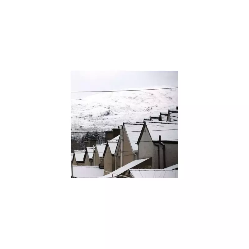
In its comprehensive five-day weather forecast, the Met Office highlights that snow is probable in a series of locations, with central and eastern Scotland being particularly affected. The forecast for today indicates that rain or hill snow will persist in parts of central and eastern Scotland, while eastern England experiences mostly dry weather with sunny intervals.
Other regions can anticipate frequent showers or prolonged spells of rain, accompanied by windy conditions. Although gales are gradually easing in some areas, the overall pattern remains turbulent.

Areas Set for Snowfall
The Met Office has pinpointed several regions where snow is likely, primarily focusing on Scotland. The impacted areas include:
- Central Scotland
- Eastern Scotland
- Hills in Scotland
- North-east Scotland
Further hill snow is anticipated across parts of north-east Scotland, with cloudy conditions and outbreaks of rain or showers expected for many. Some brighter breaks may develop, and many areas could become drier later in the period.
Unsettled Conditions Through the Week
The weather is forecast to remain unsettled throughout the upcoming days, with bands of rain moving north and east across the country. Tuesday is expected to bring another deep area of low pressure approaching from the south-west, contributing to the cold feel.
The BBC Weather team corroborates this outlook, noting that chillier conditions will develop compared to recent days, although nothing exceptionally cold is anticipated. Next week, bands of rain will push into the south-west, potentially bringing wintry precipitation, especially on higher ground.
The ongoing struggle between mild and cold air masses is likely to continue, making it challenging to predict the precise balance. As the BBC adds, updated models may provide better agreement on this knife-edge scenario as Tuesday approaches.
Residents in the affected areas are advised to stay updated with the latest forecasts and prepare for potential travel disruptions or hazardous conditions due to the expected snow and rain.