
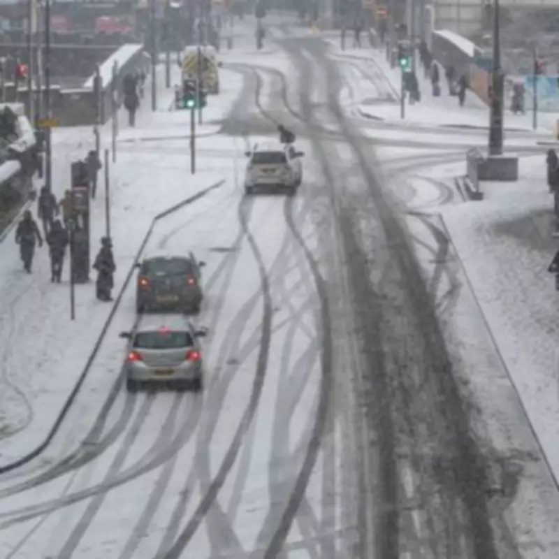
Weather forecasters have issued a stark warning for significant snowfall across the United Kingdom this week, with snow maps indicating a substantial wintry precipitation event is on the horizon. The forecast suggests that parts of England could be buried under as much as 10 centimetres of snow, creating potential travel disruptions and hazardous conditions.
Precise Timing and Affected Regions
According to data from WX Charts, which utilises Met Desk information, the snowfall is predicted to commence in the early hours of February 15. The initial impact is expected to be felt across the south-west of England, with regions such as Cornwall, Devon, and Dorset likely to see the first flakes. The snow is then forecast to spread eastwards and northwards, potentially affecting the south coast, the Home Counties, Greater London, and areas extending towards the Midlands.
Snow Depth and Accumulation Predictions
Depth charts and accumulation models, powered by the advanced GFS system, indicate that snowfall could reach depths of up to 10cm in some areas. This level of accumulation is significant for southern England and could lead to slippery roads, school closures, and public transport delays. South Wales is also anticipated to experience snowfall, broadening the geographical scope of this winter weather event.

Broader Weather Patterns and Long-Term Outlook
The BBC Weather team has provided a forecast for the week of February 16 to 22, suggesting a complex atmospheric shift. The period may begin cold with wintry showers, but a change is expected as high pressure to the north weakens. This could be replaced by low pressure developing near Iceland by the week's end, fostering south-westerly wind flows that bring milder air across much of the UK.
However, this transition to a more Atlantic-driven weather regime is likely to introduce periods of wet and windy conditions, with frontal systems crossing the country. The forecast warns of above-average rainfall, which could exacerbate local flooding issues, particularly in south-western parts of the UK. On the colder leading edges of these rain bands, there is a possibility of snow, especially over higher ground in northern regions.
Potential Impacts and Advisory Notes
Residents in affected areas are advised to prepare for potential disruptions. The combination of snow and subsequent rainfall raises concerns about transport safety and localised flooding. The BBC notes that clearer signals regarding the duration of the colder snap and the timing of the milder turn are expected by Tuesday, providing more precise guidance for the public.
This weather event underscores the importance of staying updated with the latest forecasts from reliable sources like the Met Desk and BBC Weather, as conditions may evolve rapidly.


