
UK Braces for Massive 500-Mile Snow Bomb with Arctic Freeze
The United Kingdom is preparing for a severe weather event as a colossal 500-mile blizzard, driven by Arctic Maritime air, is forecast to sweep across the country. The most intense conditions are anticipated to strike on Sunday, February 15, according to meteorological data.
Widespread Snowfall and Freezing Temperatures Expected
Maps from WX Charts, which utilize Met Desk data, indicate that the snowfall will blanket regions north of the Midlands, turning vast areas white. This data has been corroborated by other weather services, including Ventusky and Netweather TV, highlighting the widespread nature of the impending storm.
The hardest-hit area is likely to be Yorkshire, where snow flurries are projected to begin from 6am on Sunday. The snowfall will extend across the north east, north west, East Anglia, the East Midlands, and even some parts of the Home Counties, creating significant disruptions.

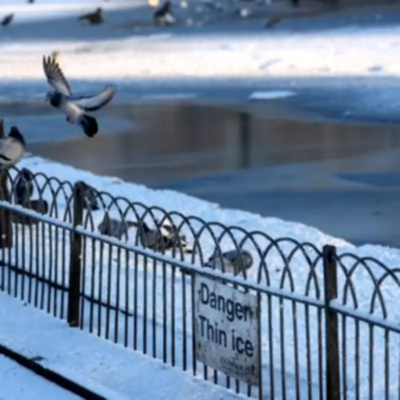
Temperature Plunge to -8C by Midweek
Following the initial blizzard, temperatures are set to drop dramatically. Forecasts suggest that by Thursday, February 19, temperatures could plummet to as low as -8C in certain areas. Scotland is expected to bear the brunt of the cold, with some locations nearing this extreme, while many parts of England and Wales will hover around or just below freezing.
A snow depth chart reveals that the largest accumulations, up to 10cm, will occur in Scotland, particularly over higher ground. Bands of wintry showers are predicted to sweep south across the UK overnight, exacerbating conditions.
Expert Analysis and Weekend Outlook
Nick Finnis from Netweather TV provided insights into the coming days. He stated that outbreaks of rain, sleet, and hill snow will gradually move south over England and Wales through Friday, with the heaviest precipitation expected in Wales and southwest England. Strong northerly winds will develop down the Irish Sea, adding to the chill.
Finnis noted that after a frosty start on Saturday, with a risk of ice in affected areas, the day is expected to be drier and sunnier but remain cold across much of the UK as a ridge of high pressure builds. Temperatures are forecast to reach only 3-6C at best, underscoring the persistent cold spell.
This weather event poses significant challenges for transportation, public services, and daily life, urging residents to stay informed and take necessary precautions.


