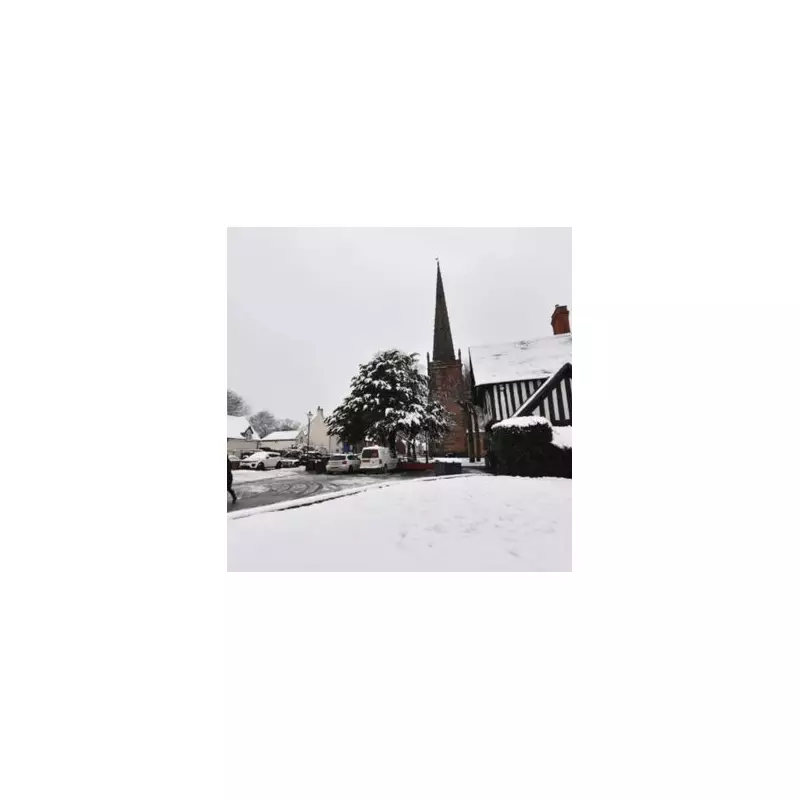
A colossal wall of snow, stretching an astonishing 547 miles in width, is poised to strike the United Kingdom within the next 48 hours, according to the latest meteorological projections. The nation is bracing for severe wintry disruption, with the onset forecast for Tuesday, January 27, and England expected to bear a significant brunt of the adverse conditions.
Widespread Snowfall Across the Nation
New weather maps and charts, sourced from WX Charts utilising Met Desk data, illustrate a sweeping band of snow set to engulf both England and Scotland as the second working day of the week commences. This extensive weather system is predicted to bring flurries to north Wales, Northern Ireland, Scotland, and large swathes of England, with some regions facing accumulations measuring a staggering 55 centimetres deep.
Regional Impact and Accumulation Forecasts
The most severe snow accumulations are anticipated north of the border in Scotland. However, in England, areas from Yorkshire northwards are at considerable risk. Pockets of significant snowfall are also expected in the West Midlands, including Staffordshire and Birmingham. Further accumulations are likely across Greater Manchester, Cumbria, Lancashire, Durham, and Northumberland. The projected 547-mile span of this snow wall would extend from Birmingham all the way to the northern tip of Scotland at Wick.
Expert Analysis and Extended Forecast
James Madden, a forecaster from Exacta Weather, provided detailed insight into the developing situation. "Any first and initial snow showers over the coming days are likely to pave the way for something bigger in terms of snow prospects heading into next week," he stated. "From around Monday evening and into Tuesday will see the first bout of unsettled conditions pushing in from the Atlantic and clashing with colder conditions to bring at least some transient and/or notable snow in places and also to some lower levels."
Madden further explained that some areas will experience rain and strengthening winds, potentially before, after, or between periods of transient snow. "Additionally, and importantly, the next bout of unsettled weather conditions will mix with the colder conditions during and around Tuesday evening and into much of Wednesday," he added. "The areas at risk for snow and heavy snow are in the northern half of the country and at lower levels from central England and upwards and also in large parts of Ireland including Southern Ireland."
Contradicting Milder Predictions
In a notable warning, Madden contested other public forecasts predicting milder conditions. "Additionally, some of the recent and/or current projections for NO wintry weather and further ahead of this in terms of milder weather from the so-called public weather provider and elsewhere are not only 'misleading' but likely to be 'wrong'," he asserted. He anticipates further widespread and developing snow showers will form through much of next week and potentially beyond, particularly in the northern half of the country, but not necessarily restricted to these areas as the week progresses.
The nation is now on alert as this significant winter weather event approaches, with authorities and the public urged to prepare for widespread travel disruption and challenging conditions from Tuesday onwards.


