
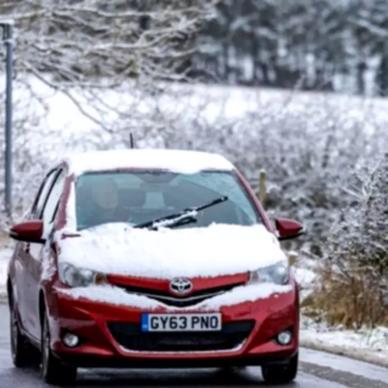
The United Kingdom is preparing for what meteorologists are describing as the most severe winter snowstorm of the season, with staggering accumulations of up to 99 centimetres forecast for certain regions. An intense Arctic blast is set to sweep across the nation, bringing bitterly cold temperatures and prolonged snowfall that could disrupt travel and daily life.
Severe Weather Patterns Emerge
Detailed weather maps and charts, utilising authoritative Met Desk data, indicate a dramatic shift in conditions from February 17th onwards. Temperatures are projected to plummet to a chilling -5°C, with a sustained period of snowfall expected to last for approximately twelve hours, from midday through to late evening. This wintry onslaught will primarily impact the eastern and northern parts of England, as well as Scotland.
Regional Impact and Snowfall Projections
The forecast suggests a highly variable accumulation of snow across the country. While elevated regions in England may see around 10cm, the situation is far more severe in Scotland. The Scottish Highlands, in particular, are braced for the brunt of the storm. Areas north of the border, especially near Aberdeen, could be submerged under a monumental blanket of snow reaching depths of 99cm in the worst-affected zones.

This significant snowfall, combined with the sub-zero temperatures, creates a high risk of travel chaos, school closures, and potential power disruptions. Residents in these regions are being urged to monitor official updates and prepare for severe winter conditions.
Expert Analysis and Historical Comparisons
Meteorologists are closely watching the developing situation. Ian Simpson of Netweather TV provided insight into the complex atmospheric setup. "At present, the forecast models are now going for a northerly in about a week's time, followed by cold and potentially snowy weather," he explained. "Low pressure systems and fronts will push against the cold air mass, bringing snowfalls on the northern and eastern flanks."
Simpson drew a cautious comparison to a notable historical event, noting similarities in the model outputs for mid-February with the cold spell that gripped the UK in February 2009. That period was characterised by northerly winds and systems pushing into Arctic air, leading to significant snowfall, including the most substantial London snowfall since 1991.
However, experts emphasise that the forecast remains subject to change. "This setup is not guaranteed to pan out as is currently modelled," Simpson added, highlighting that temperature margins could mean the difference between snow and cold rain, particularly from the English Midlands northwards. The precise track of the jet stream will be a critical factor in determining the final outcome.
As the nation watches the forecasts evolve, the potential for this "snow bomb" to become one of the most significant winter weather events in recent years is becoming increasingly apparent. Authorities and the public are advised to stay informed through official meteorological channels as the situation develops.


