
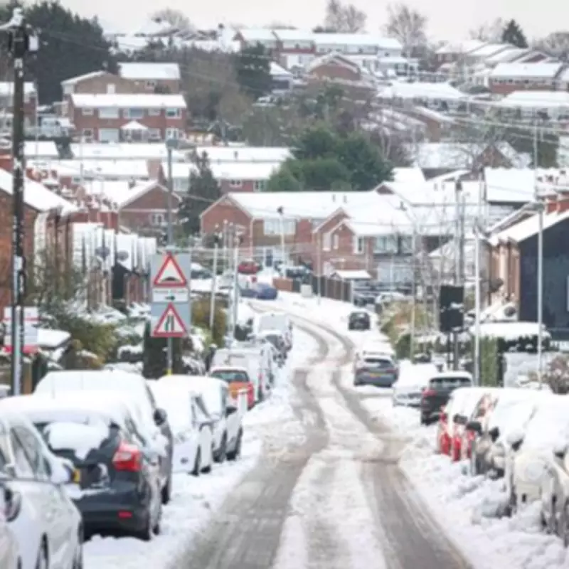
Met Office Issues Yellow Warning as 685-Mile Snow Blizzard Targets UK This Weekend
Britons are preparing for a substantial winter weather event this weekend, with updated meteorological charts indicating a massive 685-mile blizzard set to impact the United Kingdom on Saturday. The Met Office has proactively issued a yellow weather warning for snow across multiple regions, highlighting the potential for disruptive conditions as temperatures plummet well below freezing.
Extensive Snowfall Predictions Across the Nation
Weather maps from WXCharts, utilizing MetDesk data, reveal an extensive snow cover expected to stretch from Wick in the north down to Southampton in the south. The forecast suggests that numerous towns and cities will be blanketed by snow, with particularly severe accumulations anticipated in certain areas.
Inverness and its surrounding regions are predicted to experience an extraordinary 98 centimeters (approximately 35 inches) of snowfall by Sunday as the harsh winter weather persists. This significant accumulation underscores the intensity of the incoming storm system.

Detailed Forecast and Accumulation Expectations
The Met Office forecasts that rain moving eastward on Saturday night will initially fall as snow, even at lower elevations temporarily, before transitioning to rain as milder air advances from the west. Snow accumulations are expected to vary based on altitude:
- Lower levels may see short-lived accumulations of 1 to 3 centimeters.
- Areas above approximately 150 meters could experience 3 to 7 centimeters.
- Locations above 400 meters might receive 10 to 15 centimeters of snow.
Regions sheltered to the north of elevated terrain may witness limited snowfall. Additionally, ice poses a serious hazard, especially across northeast England and parts of Scotland, where precipitation could strike frozen surfaces, creating exceptionally treacherous travel conditions.
Official Warnings and Public Advisory
Rebekah Hicks, Chief Forecaster at the Met Office, has issued a cautionary statement: "Snow is likely ahead of the rain across northern England and Scotland and could reach lower levels at times Saturday night into Sunday. The snow will gradually turn to rain as the front moves east across the country on Sunday."
She further emphasized: "The rain may be heavy at times, and it will be windy in coastal areas. Additional warnings may be required. We encourage the public to keep up to date with the latest forecasts and any warnings that may be issued."
The Met Office also noted that snow will increasingly turn to rain into Sunday morning, possibly with a brief spell of freezing rain in some locations, before eventually clearing to the east. A steady thaw of lying snow is then expected to set in.
List of UK Cities Forecast to Experience Snow This Weekend
- Plymouth
- Bristol
- Swansea
- Birmingham
- Stoke on Trent
- Manchester
- Blackpool
- Glasgow
- Dundee
- Aberdeen
- Edinburgh
- Inverness
- Perth
- London
- Southampton
- Newcastle
- Oxford
- Gloucester
Residents across these areas are advised to stay informed through official weather updates and prepare for potential travel disruptions and hazardous conditions as this significant winter storm approaches.


