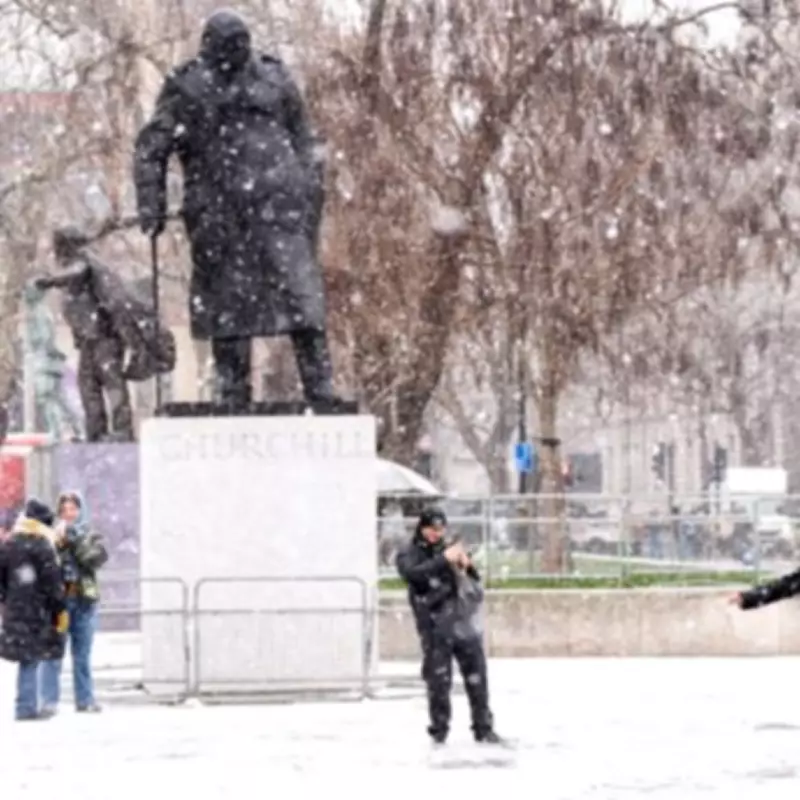
Extended Snow Forecast Brings Wintry Conditions to Multiple UK Regions
The Met Office has significantly expanded its weather predictions, now indicating that snow is likely to affect parts of the United Kingdom on more days than initially anticipated. This updated forecast covers the period leading up to Sunday, with specific regions identified as facing potential wintry hazards.
Detailed Five-Day Weather Outlook and Regional Impacts
In its comprehensive five-day weather outlook, the Met Office provided a detailed breakdown of expected conditions. For Wednesday, February 4th, the forecast describes a day that will be cloudy but with occasional sunny spells in southern areas. Rain is expected to be confined to Northern England, Northern Ireland, and Scotland, where higher hills may see some snowfall. Conditions are predicted to be drier further south, with breaks in the cloud across southern counties allowing for sunny intervals. Temperatures are not expected to be as cold as those experienced on Tuesday.
The Met Office has issued yellow weather warnings for snow on Wednesday, although these warnings do not extend into Thursday, February 5th. However, forecasters emphasise that snow remains a possibility across Thursday, Friday, February 6th, and Saturday, February 7th. This extension means residents in affected areas should prepare for a prolonged period of wintry weather.
Specific Areas Facing Possible Snowfall and Hill Snow
The meteorological service has named several key locations that are at risk of hill snow or possible snow during this period. The identified areas include:
- North Wales
- The Pennines
- Scottish Mountains
According to the Met Office forecast, conditions will turn cloudier again as rain continues for Scotland, with hill snow expected once more in eastern regions. Overnight, more rain is predicted to move into southern areas as winds increase across many parts of the country.
Weather Patterns and Temperature Expectations
The forecast indicates that rain will move northwards through the day, potentially turning heavy in some locations. The possible snow across north Wales, the Pennines, and Scottish mountains remains a significant concern. Winds are expected to stay strong in northern regions, with temperatures averaging for this time of year.
Wintry hazards are forecast to continue for the northern half of the UK, while southern areas may experience outbreaks of rain. Some drier spells are anticipated on Saturday, but conditions are expected to remain mostly cloudy heading into the weekend.
Additional Weather Insights and Broader Forecast Context
The BBC's weather analysis aligns with this outlook, noting that today most of the rain and wintry conditions will become confined to northern Scotland. Elsewhere, cloudy conditions are expected, with bright spells developing in southern areas after a potentially foggy start. Southern regions may experience a milder day compared to northern areas.
Tonight's forecast predicts cloudy conditions throughout, with spells of rain and hill snow affecting northern regions. Southern areas can expect spells of rain moving in through the night, maintaining the unsettled weather pattern across the country.
This extended forecast underscores the importance for residents in affected regions to stay informed about weather updates and prepare for potential travel disruptions and cold conditions. The Met Office continues to monitor the situation closely and will provide further updates as necessary.


