
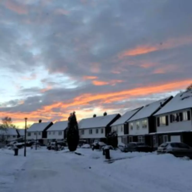
The Met Office has officially named all fourteen UK regions that are set to face significant snowfall and potential blizzard conditions on Tuesday, February 3rd. A yellow weather warning for snow has been activated, coming into effect at midnight on Tuesday and remaining in place throughout Wednesday, February 4th.
Detailed Forecast and Regional Impact
The national weather service has provided a comprehensive forecast, indicating a mix of wet conditions in the south and hill snow across northern regions. Persistent rain is expected to move northwards from the south during the morning hours.
Specific Weather Patterns
Further precipitation, including rain and snow on higher ground, is anticipated in northeast Scotland. While clearer conditions may develop in the southwest later in the day, accompanied by heavy showers, the rain will continue its northward progression.

This rain is forecast to turn to snow on the higher hills of Wales, the Pennines, and eastern Scotland. Northern areas will experience windy and rather cold conditions, whereas clearer skies are expected further south, albeit with showers.
Extended Outlook and Disruption Warnings
Looking ahead to Wednesday, February 4th, the Met Office states that rain and hill snow will become confined to northern parts, where it will remain windy, particularly in the northeast. Drier conditions are predicted for southern regions, with some brighter spells and milder temperatures, while colder air persists in the north.
Weekend Forecast
The outlook for Thursday through Saturday suggests continued unsettled weather across the UK. Further outbreaks of cloud and rain are expected, with brief bright spells in some areas. More hill snow is likely across northern parts later in the week.
The Met Office has issued specific warnings about potential disruption. Wintry showers over Shetland on Tuesday are expected to turn into more persistent snowfall from Tuesday evening, continuing throughout Wednesday.
Accumulation Predictions and Blizzard Conditions
By the end of Wednesday, widespread accumulations of 1-3cm are anticipated, with the possibility of 5-10cm building up over higher ground. The weather service has highlighted a significant concern regarding strong winds, which are forecast to lead to blizzard conditions and drifting of lying snow.
At lower levels, precipitation is expected to be a mix of rain, sleet, and snow, which could result in some minor snow accumulations in places. The combination of snowfall and strong winds, especially in the northern parts of the warning area, creates the risk of blizzard conditions and snow drift.
Full List of Affected Areas
The Met Office has identified the following fourteen UK areas under the yellow snow warning:
- Angus
- Clackmannanshire
- Dundee
- Fife
- Perth and Kinross
- Stirling
- Aberdeen
- Aberdeenshire
- Moray
- Highland
- Orkney Islands
- Shetland Islands
- Argyll and Bute
Residents in these regions are advised to stay updated with the latest weather forecasts and travel information, as conditions may lead to travel disruption and hazardous road conditions.


