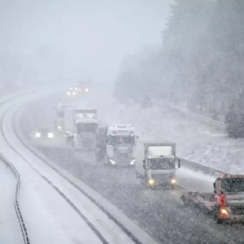
The Met Office has issued a detailed five-day weather forecast, alerting residents across the United Kingdom to the imminent arrival of wintry conditions. The forecast, which extends into next Tuesday, highlights the likelihood of significant snowfall in several regions, accompanied by persistent rain and strong winds.
Widespread Snow Forecast for Northern Regions
According to the latest Met Office update, snow is expected to affect multiple areas from tonight through to Friday, with yellow weather warnings already in place for both rain and snow. The forecast indicates that northern England and the hills of England will experience snowfall, while Scotland and its elevated areas are also set to be impacted.
Detailed Regional Breakdown
The Met Office specifies that hill snow in the north will become confined to Scotland by morning. Conditions are predicted to be cold and windy in northern regions, with milder and less windy weather further south. On Friday, most areas will see rain, with snow persisting over Scottish hills and windy conditions continuing. Brighter spells are expected in the northwest, though heavy showers may develop towards the southwest later in the day.
Unsettled Weather to Persist Through the Weekend
The weekend outlook, covering Saturday through to Tuesday, suggests that the weather will remain unsettled across all areas. Further rain, some of it heavy, is anticipated at times, with often rather windy conditions. However, temperatures are expected to turn less cold in the north over the weekend.
Mid-February Forecast Patterns
Looking further ahead to mid-February, forecasters predict that cyclonic patterns will dominate the UK weather. Additional fronts are likely to approach the country and become slow-moving as they encounter high pressure to the north or northeast. This pattern means that southern and western areas remain most prone to wet conditions, increasing the risk of flooding impacts.
Parts of northeast Britain may also experience wetter than normal conditions. Some snow is likely, particularly in colder airmasses that move south or east into the UK, or at the interface between mild and cold air. Strong winds are possible at times, and temperatures will remain finely balanced, with northeastern areas likely to be colder than average and southwestern areas potentially seeing mild conditions intermittently.


