
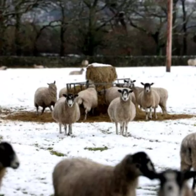
Yellow Snow Warning Issued for West Midlands with Up to 5cm Forecast
The Met Office has issued a yellow weather warning for snow across parts of the West Midlands, forecasting up to 5cm of snowfall in some areas. The warning is set to be in effect from 4pm on Wednesday, February 18, until 6am on Thursday, February 19.
Forecast Details and Potential Impacts
According to the Met Office, the warning covers southeast Wales, Herefordshire, and Shropshire, where 2-5cm of snow could accumulate widely above 150-200 metres. In higher elevations above 250-300 metres, particularly in mid and southeast Wales, Herefordshire, and Shropshire, accumulations may reach 10-15cm.
Lower elevations could see smaller snow accumulations, typically less than 2cm, especially from late Wednesday evening into early Thursday morning. The Met Office has also warned that strong east to northeasterly winds will accompany the wet weather, potentially exacerbating impacts in affected areas.

Affected Areas in the West Midlands
The warning extends to multiple regions within the West Midlands, including:
- Herefordshire
- Shropshire
- Staffordshire
- Telford and Wrekin
- Warwickshire
- West Midlands Conurbation
- Worcestershire
Other areas under the warning include parts of London and South East England, such as Oxfordshire, South West England like Gloucestershire, and numerous counties in Wales.
Met Office Statement and Uncertainty
In a statement on its website, the Met Office noted some uncertainty in the details but highlighted the potential for an area of rain and snow to affect parts of Wales and central England later on Wednesday and overnight into Thursday. Residents are advised to stay updated with the latest forecasts and prepare for possible travel disruptions and hazardous conditions.
This weather event comes as part of broader winter conditions affecting the UK, with the Met Office urging caution and preparedness in the face of changing weather patterns.


