The Met Office has issued a yellow weather warning for violent thunderstorms expected to sweep across the UK from today into Thursday morning, warning of four key hazards including heavy rain, hail, and lightning.
Weather forecasters have identified four potential hazards likely to result from the thunderstorms, which are forecast to persist throughout the afternoon and evening. Wales and the South West of England are expected to bear the brunt of the worst conditions, according to the Met Office.
These storms are set to trigger a number of dangers, serious enough that Britons are being urged to prepare emergency kits containing items such as torches, batteries, and a mobile phone power pack. Rainfall is expected to be heavy, with hailstones also posing a risk at times.
For much of the country, the shift in conditions is a stark contrast after temperatures surpassed 30C over recent days. Cardiff sizzled at 32.9C on Tuesday; however, with low pressure sweeping in from the west, temperatures are now predicted to drop for the remainder of the month.
Four Key Hazards
The Met Office has outlined four key hazards Britons should be aware of during the stormy conditions:
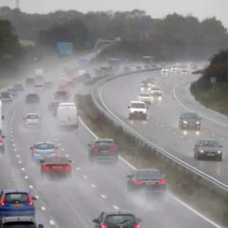
- Heavy rain leading to potential flooding and difficult driving conditions.
- Large hail which can cause damage to property and vehicles.
- Frequent lightning posing a risk to life and potential power outages.
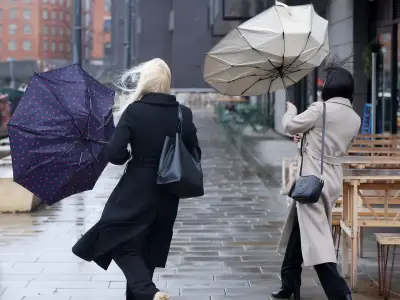
- Strong, gusty winds that may bring down trees and cause structural damage.
The Environment Agency currently has no flood alerts in place, though concerns had existed until this morning for certain parts of the Midlands. Warnings, including one for the River Blythe in Warwickshire, have since been lifted as the forecast continues to change rapidly. However, rainfall is expected, with the heaviest downpours anticipated in western regions.
The Met Office stated: "After another hot day, thunderstorms are expected to develop across parts of Wales as well as some western and southwestern parts of England during this afternoon and through the evening."
"While many places will miss the worst conditions, where thunderstorms do occur they bring the potential for torrential downpours of rain, frequent lightning, large hail and strong, gusty winds."
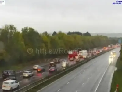
Drizzle will travel from west to east on Thursday as well, most intense across the Home Counties during the afternoon. Consequently, driving conditions could prove difficult throughout the day, particularly during the evening rush hour in areas of the South East of England.
The Met Office outlook for Thursday predicts: "Mostly dry with sunny spells, but also a few showers and thunderstorms possibly breaking out across England and Wales later in the day. Warmer again for many."