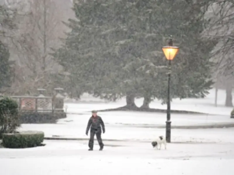
The Met Office has forecast a wintry shift for Friday, October 23, with snow expected to begin falling from 10am across seven counties in Scotland. Weather maps show areas of snow forming over northern and western Scotland from that hour, with the affected regions including Ross-shire and Cromartyshire, Inverness-shire, Banffshire, Aberdeenshire, Perthshire and Argyllshire.
Maps have turned blue, with the hue representing snowfall accumulating north of the border as the Met Office issues official weather warnings for storms. The snow is expected to intensify through the day, lingering into 1pm and 4pm, the maps show, spreading further afield from the Highlands as the northern tip of the country shivers amid plunging temperatures.
Storm Boelo and Storm Austen bring weekend disruption
Storm Boelo will impact Northern Ireland, Scotland and parts of northern England over the weekend, the Met Office has said. Warnings have also been updated for Storm Austen, which impacts the south of England and Wales on Thursday night and Friday.
A Friday outlook from the Met Office said: "Rain will continue to move northwards on Friday as Storm Austen gradually clears. Winds will become strong and gusty, with gales and severe gales in places across the south."
The outlook continued: "Strong winds and heavy rain Saturday before a brief settled interlude brings sunny spells and isolated light showers on Sunday. Further wind and rain arrives Monday."
Why storms are arriving in quick succession
Chris Fawkes, BBC weather presenter, said: "It's not unusual to get storms so close together, in fact they quite often arrive in clusters."
Fawkes explained that a strong jet stream is needed to rapidly develop powerful wind storms. The process involved in creating such storms involves shifting warmer air northwards and cooler air southwards across vast areas of the Atlantic.
"These temperature contrasts can provide a fertile environment for new low pressure systems to develop and if these subsequently get steered beneath a developmental area of a powerful jet stream, they can rapidly develop to create a new named storm with damaging winds," he added.
Weekend outlook and further warnings
The Met Office has not indicated when the snow warnings will be lifted, but the Friday outlook suggests the wintry conditions will be followed by a brief settled interlude on Sunday before further wind and rain arrives on Monday. Residents in the affected Scottish counties should prepare for potential travel disruption and icy conditions as the snow accumulates through Friday.