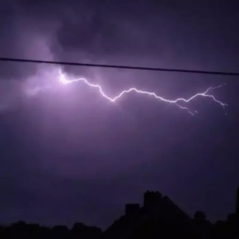
A massive lightning storm illuminated the skies over the West Midlands in the early hours of Thursday, May 28, following several days of intense heat. Residents were startled awake around 1:30 AM as thunder and lightning swept across the region, accompanied by heavy rain—the first significant rainfall in days.
The dramatic weather event came after temperatures soared above 30°C earlier this week in Birmingham and the Black Country. The Met Office had previously issued a yellow thunderstorm warning covering Staffordshire, Warwickshire, Worcestershire, Herefordshire, Shropshire, and the West Midlands, which remained in effect until Tuesday night, May 26. In total, 42 regions across the UK were placed under similar warnings.
Forecast for Birmingham
According to the Met Office, Thursday is expected to be warm with plenty of sunny spells, reaching a high of 30°C. However, an isolated heavy shower is possible this afternoon. The forecast notes: "A dry and sunny start to the morning. A very warm afternoon to come, though the sunshine turning increasingly hazy later on. An isolated heavy shower may also be possible. Breezy." Overnight conditions will be mostly dry with clear spells, though low cloud may develop over hills, with a minimum temperature of 11°C.
Outlook for Friday and the Weekend
Friday will see some low cloud early on, possibly with an isolated light shower, but skies are expected to brighten by lunchtime with plenty of sunshine. Temperatures will feel fresher, peaking at 24°C. Looking ahead to the weekend, Saturday is forecast to start bright but with heavy rain moving in later. Sunday will bring sunshine and showers, while Monday could be wetter and windier, with cooler conditions overall.