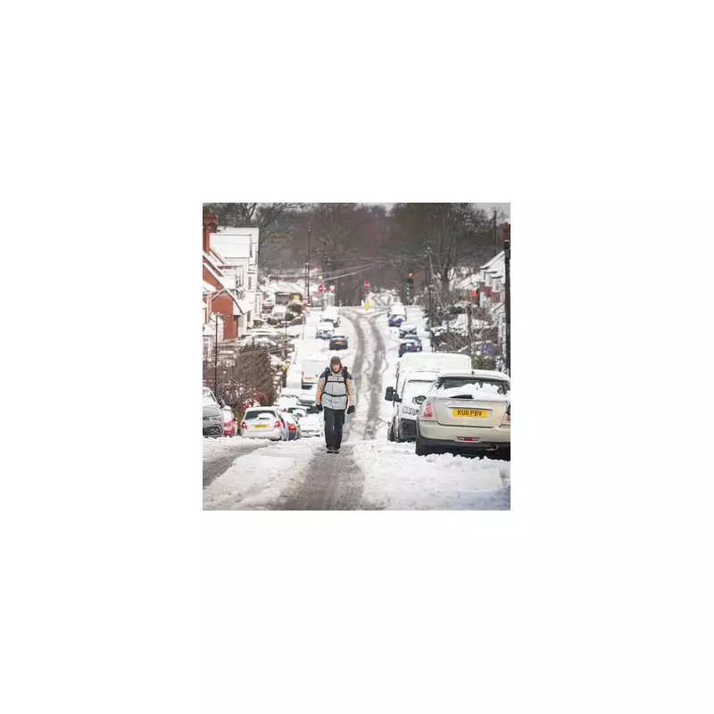
The Met Office has issued its crucial assessment on the potential for a significant cold snap, often dubbed a 'Beast from the East', to strike the United Kingdom before the month is out. This comes as independent weather mapping data paints a picture of plummeting temperatures and widespread heavy snow for many regions.
Weather Maps Forecast Deep Freeze and Snow Blanket
Detailed charts from WXCharts indicate a dramatic shift towards much colder conditions from around January 27. The data predicts the initial snowfall to arrive on that date, followed by increasingly heavy precipitation across most of the UK the following day. A further snowy episode is anticipated on January 29, with some areas potentially seeing accumulations of up to two inches.
The cold accompanying this snow is forecast to be severe. Maps suggest temperatures across England could sink to between -1C and -6C, while some parts of Scotland may endure an even more brutal chill, with the mercury potentially plunging as low as -12C.

Met Office Long-Range Forecast: A Battle of Air Masses
The Met Office's own long-range forecast, covering the period from January 20 to 29, corroborates the possibility of a significant pattern change. It describes a meteorological battle, with milder Atlantic weather systems attempting to push in from the west, while high pressure and colder air try to gain influence from the east.
Initially, the Atlantic flow is expected to dominate, bringing cloudy, changeable conditions with rain. However, the forecast states that later in the period, there is an increased chance that conditions will turn colder. The Met Office explicitly notes that this potential transition "increases the chance of snow across the country".
Uncertainty Remains But Preparations Advised
While the prospect of a major snow event is gaining traction in modelling, forecasters emphasise that details remain uncertain. The exact track and intensity of any cold easterly flow are still being determined. Nevertheless, the alignment between commercial weather maps and the national forecaster's outlook suggests a heightened risk of disruptive winter weather in the final week of January.
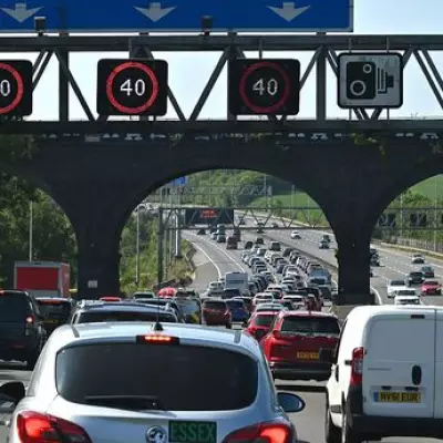
Residents across the UK, particularly in areas highlighted for the heaviest snow, are advised to stay updated with the latest forecasts from the Met Office as the situation develops. The potential for travel disruption, school closures, and impacts on infrastructure means this weather system warrants close attention in the coming days.