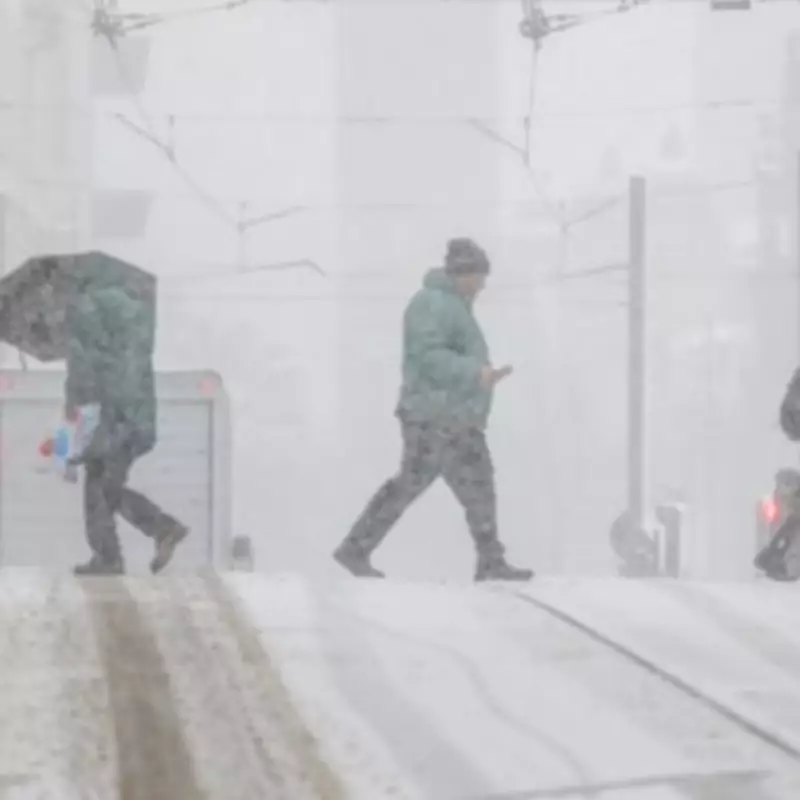
Midlands Braces for Extended Snow Event as Five Counties Face 18-Hour Blast
Detailed weather mapping has identified five specific Midlands counties that are set to experience a significant snow event lasting up to 18 hours, with the exact arrival date now confirmed. According to the latest data from WX Charts, which utilises Met Desk information, the snowfall is scheduled to commence on February 16, bringing wintry conditions to a concentrated area of central England.
Timing and Intensity of the Forecast Snowfall
The meteorological models indicate that the snow will likely begin around 12 noon on the specified date, with weather maps displaying a distinctive white hue that signifies the onset of precipitation. As the event progresses through the afternoon and into the evening, these maps transition to purple shades, indicating periods of heavy snowfall and suggesting substantial accumulations throughout the middle portion of February.
Affected Counties and Regional Impact
In the Midlands region, the snow is predicted to be particularly concentrated across five key counties:

- The West Midlands conurbation
- Shropshire
- Warwickshire
- Derbyshire
- Leicestershire
This means residents across these five counties should prepare for a significant covering of snow that may impact travel and daily activities.
Broader National Weather Patterns
Beyond the Midlands, several other counties across England are expected to receive lighter sprinklings of wintry weather. These include Northumberland, Durham, Cumbria, multiple Yorkshire regions (North, South, West, and East), Lancashire, Cheshire, Lincolnshire, and Rutland.
The snow system is forecast to make initial landfall on February 15, with England experiencing its first dusting from approximately 6pm. The flurries are then expected to continue through the night before gradually tapering off around midday the following day, creating an 18-hour period of snowfall activity across affected regions.
Longer-Term Meteorological Outlook
Looking at the broader monthly forecast, Netweather TV has provided additional context about the evolving weather patterns. Their analysis suggests: "Confidence is lower in the weather pattern during this period, especially with a likelihood of a sudden stratospheric warming event in early February."
The meteorological service further explains that tropical signals may override some impacts around mid-February, potentially leading to a milder, wetter spell. However, as late February approaches, conditions have the potential to turn colder again, with relatively high pressure persisting around Greenland.
Regarding precipitation patterns, the outlook suggests: "It still looks set to be wetter than normal in southern and eastern Britain, but potentially not as wet as earlier, while western and northern Scotland will probably be rather dry."
Temperature predictions indicate Scotland is most likely to experience below-normal temperatures, though not unusually so, while southern England appears more likely to retain above-average temperatures. Sunshine levels are forecast to be below normal for most of England and Wales but above normal in western Scotland.