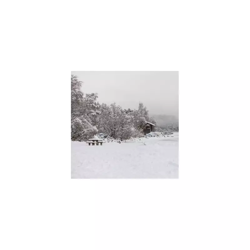
The UK is preparing for another significant bout of wintry weather this weekend, with fresh snow forecast to sweep across the country. According to data from WX Charts, which utilises Met Desk information, 72 counties are set to be affected by snowfall on Sunday, 11th January.
Which Midlands Areas Are Most at Risk?
The new weather system is expected to particularly target the Midlands region. Counties identified as being at risk include Warwickshire, Worcestershire, the entire West Midlands conurbation, Shropshire, and Staffordshire.
This places a long list of major towns and cities in the path of the potential disruption. The areas facing a dusting, or more, include:
- Coventry, Birmingham, and Solihull
- Worcester and Droitwich Spa
- Telford and The Wrekin, Shrewsbury
- Stoke, Tamworth, and Lichfield
- The Black Country towns of Wednesbury, West Bromwich, Walsall, Sandwell, and Cannock
- Stourbridge, Halesowen, Sutton Coldfield, and Aldridge
- Stratford-upon-Avon and Leamington Spa
Expert Forecast: A Tricky Weather Picture
Jo Farrow, a forecaster with Netweather TV, provided detailed analysis of the evolving situation. She explained that the initial hazard would be snow moving into the early hours of Friday, describing this part of the forecast as "always going to be tricky."
"There is cold air in-situ to the north of the incoming frontal rain," Ms Farrow said. "Heavy rainfall will lower the temperature allowing pockets of sleet and snow tonight, which will be hard to pin down."
She indicated that snow is likely over higher ground initially, affecting areas from Dartmoor and Exmoor, through the Welsh mountains and the Midlands, into the Peak District and the Yorkshire Dales.
Amber Warning Highlights Snow Risk
In a subsequent blog post, Ms Farrow added further detail, noting that the Cotswolds could see snow before dawn on Friday. She also highlighted the significance of an Amber warning area.
"The Amber warning highlights an area where the main frontal band meets the cold air, and there will be heavy precipitation overnight which could bring significant snow, even snow at lower levels," she stated.
While conditions across England and Wales are expected to improve through Friday, it will remain windy and damp for London, the Home Counties and much of South East Britain during daylight hours, with a cold northerly flow making it feel chilly.
The focus now shifts to Sunday's predicted second wave, with residents across the Midlands advised to stay updated with the latest travel and weather warnings.


