The Midlands is braced for a second severe winter blast this weekend, with forecasters warning a fresh 'snow bomb' could bury Birmingham and surrounding areas by Sunday evening.
Sunday's Snow Timeline and Impact
According to data from WX Charts, which uses Met Desk information, a powerful band of snow is predicted to sweep across the country from midday on Sunday, January 11. The system is expected to bring hours of persistent snowfall, particularly targeting central and northern regions.
Maps indicate that up to 25 counties in the north of England will be hit. For Birmingham and the wider Midlands, the heaviest and most disruptive snow is forecast to accumulate throughout the afternoon and evening. By 9pm on Sunday, the region could be under a fresh, thick blanket of snow, leading to likely travel chaos and disruptions just after the weekend.

Weekly Forecast: A North-South Split
Looking beyond the weekend, the BBC Weather forecast suggests a significant shift in the national weather pattern. The coming week is expected to see a marked north-south divide across the UK.
The southern half of the country is likely to experience milder, unsettled conditions with periodic rain and potentially strong winds, with temperatures above the seasonal average. However, the forecast notes that "brief colder shots between weather systems could still deliver some wintriness over higher ground."
In contrast, the northern half of the UK, including Scotland, is set to remain colder than average and drier than the south. The Met Office adds that by the start of the new week, milder air will spread across the UK, with the recent cold spell finally clearing from the far northeast by Monday.
Risk of Further Snow Next Week
Despite the general trend towards milder conditions, the boundary between the mild southern air and the colder northern airmass presents an ongoing risk. The BBC forecast highlights that this clash could lead to further accumulating snow, most likely through central portions of the UK.
Areas along and north of frontal boundaries will be at the highest risk of seeing occasional snowfall. The Met Office summary for the period confirms a change, stating: "So this period likely to see brisk southwesterly winds bringing a very different feel to the weather than of late." This shift will also trigger a rapid thaw of any remaining snow in northern Scotland.
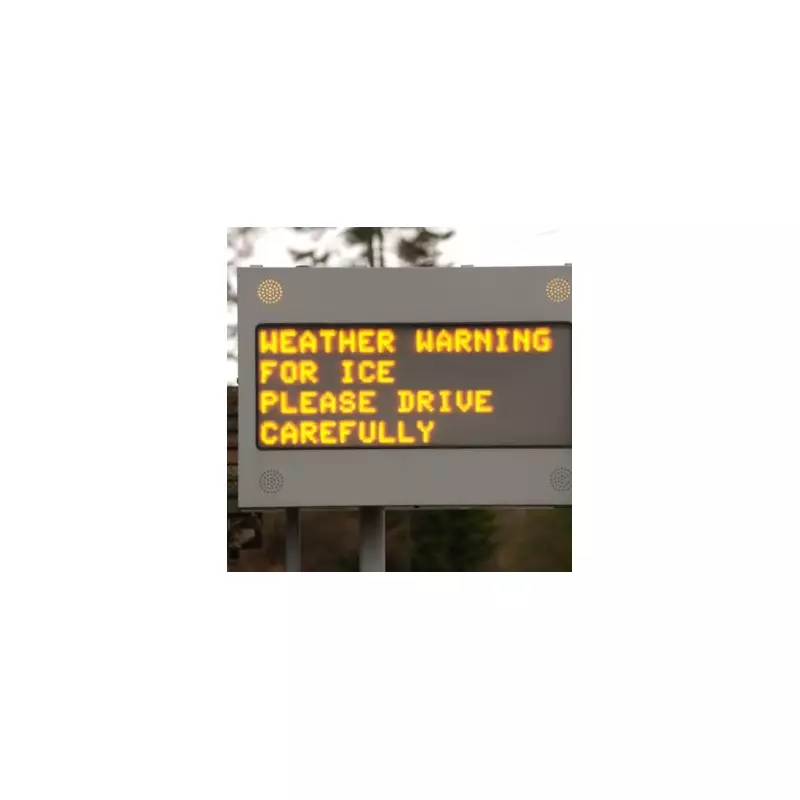
Residents in Birmingham and the Midlands are advised to monitor the latest weather warnings and prepare for potentially hazardous travel conditions on Sunday.