
Three English Counties Set to Avoid Major Winter Weather System
The number of counties in England expected to escape a significant new winter weather system has now risen to three, according to the latest meteorological projections. Detailed maps and weather charts for Tuesday, January 27, indicate that a substantial portion of the country will experience snowfall, with data from WX Charts, which utilises Met Desk information, issuing a clear warning about the impending conditions.
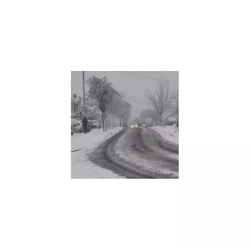
Regions Facing the Brunt of the Snowfall
The deterioration in weather is predicted to initially impact the south west of England, but notably, the counties of Dorset and Cornwall are forecast to avoid the worst of the system. They will be joined by a narrow coastal section of Hampshire in escaping the primary effects of this weather event. The snow is anticipated to arrive from approximately 6am, subsequently moving in an easterly direction across the country.
This movement places the Midlands at considerable risk later in the day, with the West Midlands potentially facing a prolonged period of up to 18 hours of continuous snowfall. Specific modelling suggests that Birmingham could see snow from noon on January 27 right through until 6am on Wednesday, January 28.

Extensive List of Counties Under Threat
The weather maps illustrate a nation turning various shades of white, grey, and purple, indicating widespread winter precipitation. A significant number of counties are identified as being at high risk from this weather bomb. The northern and central regions facing potential disruption include:
- Durham, Cumbria, and Northumberland
- Yorkshire and Greater Manchester
- Lancashire, Staffordshire, and Cheshire
- Derbyshire, Nottinghamshire, and Leicestershire
- Northamptonshire and Rutland
Further counties across the Midlands and southern England are also expected to be heavily affected. This list encompasses:
- Warwickshire, the West Midlands, and Shropshire
- Worcestershire, Herefordshire, and Somerset
- Gloucestershire, Oxfordshire, and Buckinghamshire
- Hertfordshire, Bedfordshire, and Lincolnshire
- Cambridgeshire and Greater London
Additional counties set to experience significant winter weather conditions include Wiltshire, Berkshire, Essex, Kent, Norfolk, Suffolk, Sussex, Surrey, and Devon.
Official Meteorological Outlook
The Met Office has provided a detailed forecast explaining the broader weather patterns. According to their analysis, weather systems originating from the Atlantic will continue to attempt to move eastwards across the UK. However, these systems are likely to stall as they encounter a blocking area of high pressure situated to the north and northeast of the country.
This meteorological setup is expected to result in further spells of rain or showers, which may become heavy and persistent, particularly across southern and western regions. Whilst milder conditions may temporarily affect the south and southwest, a pool of colder air is likely to remain entrenched to the northeast, bringing with it the potential for wintry showers.
The Met Office notes a specific risk where frontal systems from the southwest interact with the colder air to the northeast. This interaction creates the potential for snowfall, most probable across higher ground but with a possibility of extending to other areas at times during this period of unsettled weather.


