The Met Office has issued a yellow thunderstorm warning covering large parts of the Midlands, including Birmingham, as intense storms are expected to hit the region. The warning, in effect from 3pm on Tuesday, May 26, until late evening, includes Staffordshire, Warwickshire, Worcestershire, Herefordshire, Shropshire, and the West Midlands. In total, 42 regions across the UK are under the alert.
Areas Affected
The warning also covers parts of the East of England, London and South East England, North West England, South West England, and Yorkshire and Humber. The Met Office has advised residents to be prepared for potential disruptions.
Forecast Details
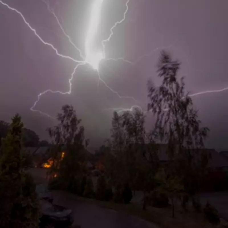
A Met Office spokesperson stated: "While many areas will remain hot and sunny, isolated thunderstorms are possible this afternoon and into the evening. These could bring frequent lightning, large hail, gusty winds, and up to 30mm of rain in less than an hour." The warning comes as the UK experiences a record-breaking heatwave, with temperatures soaring above 34°C in some areas.
Record Temperatures
On Monday, the UK recorded its warmest May night for the second consecutive day, with temperatures not dropping below 21.3°C at Kenley Airfield in south London. Additionally, Kew Gardens in south-west London recorded a provisional all-time highest meteorological spring temperature of 34.8°C. Tuesday could see temperatures reach up to 35°C in southern England and Wales, potentially climbing to 36°C, according to the Met Office.
Potential Impacts
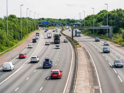
The yellow warning highlights risks of flooding, lightning strikes, and travel disruption. The Met Office warns: "Where flooding or lightning strikes occur, there is a chance of delays and cancellations to train and bus services. Power cuts may affect some homes and businesses. Spray and sudden flooding could lead to difficult driving conditions and road closures." There is also a small chance of rapid flooding of homes and businesses, with potential damage from floodwater, lightning, hail, or strong winds.
Heatwave Conditions
Many areas in England and Wales are expected to reach heatwave thresholds on Tuesday, with some experiencing five consecutive days of heatwave conditions by Wednesday. As of Sunday evening, eight areas in England had already recorded heatwave conditions, including Heathrow, Kew Gardens, Northolt, Benson, Brooms Barn, Santon Downham, High Beech, and Writtle.
Full List of Regions Under Thunderstorm Warning
East Midlands
- Derby
- Derbyshire
- Leicester
- Leicestershire
- Lincolnshire
- Northamptonshire
- Nottingham
- Nottinghamshire
- Rutland
West Midlands
- Herefordshire
- Shropshire
- Staffordshire
- Stoke-on-Trent
- Warwickshire
- West Midlands Conurbation
- Worcestershire
East of England
- Bedford
- Cambridgeshire
- Central Bedfordshire
- Essex
- Hertfordshire
- Luton
- Peterborough
- Suffolk
London and South East England
- Buckinghamshire
- Milton Keynes
- Oxfordshire
- Reading
- West Berkshire
- Windsor and Maidenhead
- Wokingham
North West England
- Cheshire East
South West England
- Bath and North East Somerset
- Bristol
- Gloucestershire
- North Somerset
- Somerset
- South Gloucestershire
- Swindon
- Wiltshire
Yorkshire and Humber
- South Yorkshire
- West Yorkshire
Residents are advised to stay updated with the latest forecasts and take necessary precautions to stay safe during the storms.