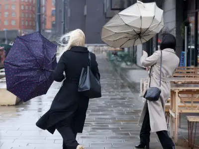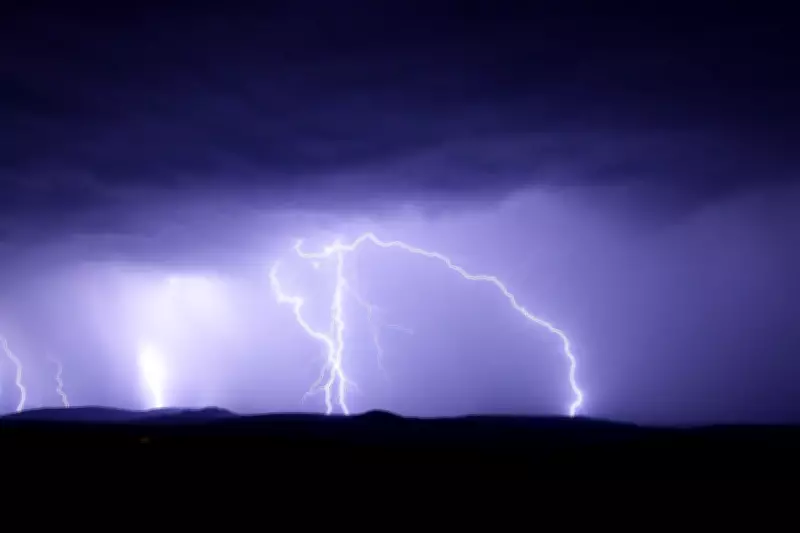
The West Midlands is bracing for a dramatic shift in weather as thunderstorms are forecast to follow the recent heatwave. The Met Office has issued a yellow weather warning for thunderstorms across the region, valid from late afternoon until midnight. Residents can expect heavy rain, frequent lightning, and possible hail, which may lead to travel disruptions and localised flooding.
What to Expect
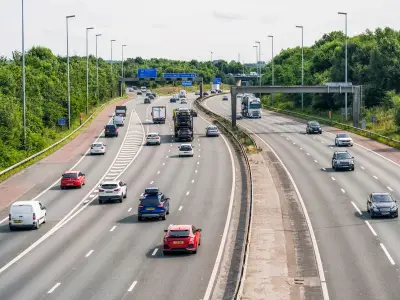
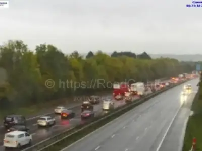
Temperatures are set to drop significantly after the heat, with highs around 25°C on the day of the storms, down from the 30°C recorded earlier in the week. The storms are expected to move in from the south-west, bringing sudden downpours and gusty winds. Drivers are advised to take extra care on the roads, as visibility may be reduced and standing water could cause hazards.
Safety Advice
The Met Office advises people to stay indoors during the worst of the storms and to avoid using electrical appliances. If you are caught outside, seek shelter in a sturdy building or a car. Avoid open fields, hilltops, and water bodies. The public is also urged to secure loose garden furniture and check on vulnerable neighbours.
Despite the risks, the rain will be welcome news for gardeners and farmers, as the region has experienced dry conditions in recent weeks. The storms are expected to clear by midnight, leaving fresher conditions for the rest of the week.