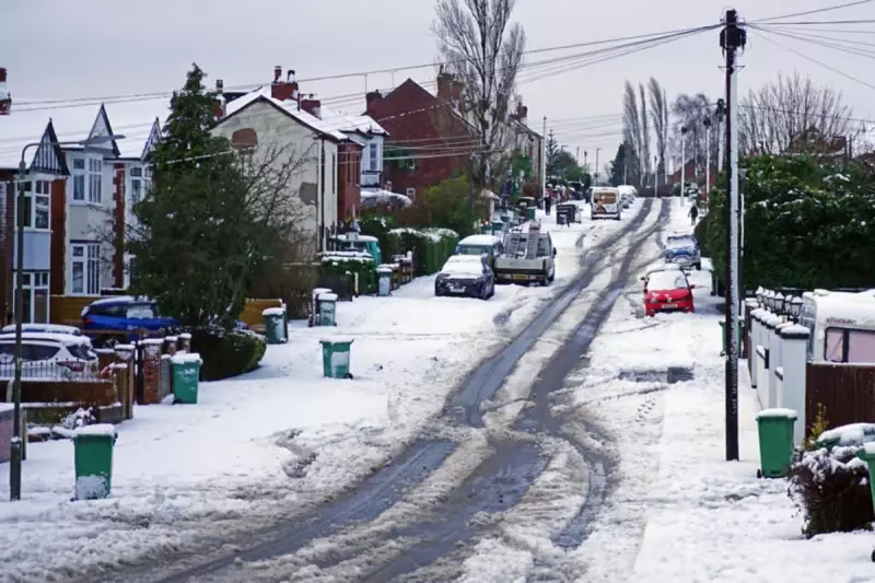
Residents across the West Midlands are being advised to prepare for a potential return of wintry conditions, with forecast maps pinpointing where and when snow could fall in the coming days. After a relatively mild spell in the middle of January, the region is bracing for colder temperatures and the possibility of snowfall as we move into the final week of the month.
Timeline of Potential Snowfall This Week
Current meteorological models are indicating a shift in the weather pattern, with an area of high pressure expected to arrive over the UK next week. This change is likely to usher in colder air, increasing the chances of wintry precipitation across parts of the country.
Key Dates for West Midlands Snow Risk
According to the latest forecast data, there is a possibility of light snowfall affecting the West Midlands region on Tuesday, January 27 and Wednesday, January 28. Additionally, forecast charts suggest a chance of snowfall in Birmingham specifically on Friday, January 30.
WX Charts illustrate a band of sleet, snow, and rain sweeping across the UK on Tuesday morning. This system could bring snow to parts of the Midlands and more northern regions of England, although precise details regarding accumulation and exact locations will become clearer as the event approaches.
Context: A Return to Colder Conditions
This potential cold snap follows a period at the start of January where parts of the county, including Birmingham, experienced snow and ice after Arctic air swept across the UK. Some areas saw temperatures plummet to as low as -6°C, accompanied by snowfall linked to Storm Goretti.
The upcoming weekend is forecast to be dominated by unsettled weather, serving as a precursor to the colder temperatures anticipated at the start of next week. Forecasting snow in the UK remains a complex challenge due to various atmospheric factors, such as sea temperatures and moisture levels, but there is growing consensus among models about this cooling trend.
Looking Further Ahead: February Forecast
The long-range outlook from the Met Office suggests the potential for continued cold spells into February. Their forecast indicates that while mild conditions may occasionally move into southern and southwestern parts of the UK, cold air is likely to persist to the northeast.
This setup could bring wintry showers at times. The Met Office notes: "Where fronts from the southwest do reach the cold air towards the northeast, there is the risk of some snow, most likely across hills, but perhaps extending to lower areas at times." This indicates that the risk of snow may not be confined solely to the immediate week ahead and could extend further into the winter period.
Residents are encouraged to stay updated with the latest local forecasts for the most accurate and timely information regarding travel conditions and any potential weather warnings.


