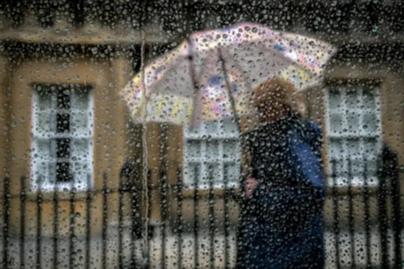
The West Midlands is set for a wet week ahead as weather conditions continue to turn unsettled across the region. Forecasters predict rain will dominate the coming days, with occasional heavy downpours possible.
What to Expect
According to the Met Office, a series of low-pressure systems will bring persistent rain from Tuesday onwards. Temperatures will remain mild, hovering around 10-12°C, but the wet weather could cause localised flooding in some areas.
Tuesday
Rain is expected to arrive early Tuesday morning, becoming heavy by midday. The rain will continue into the evening, with a risk of thunder in some parts of the West Midlands.

Wednesday
Wednesday will see a brief respite with some dry spells, but rain will return by the afternoon. Strong winds may accompany the rain, making conditions feel cooler.
Thursday to Sunday
The unsettled pattern continues into the weekend. Thursday will be mostly cloudy with outbreaks of rain. Friday could see brighter intervals, but rain returns on Saturday and Sunday. The weekend may also bring stronger winds, especially on Saturday.
Impact on Travel
The wet weather is likely to affect travel across the region. Drivers are advised to allow extra time for journeys and to be aware of spray on the roads. Public transport may also face delays, particularly on bus and rail services.
The Environment Agency has issued flood alerts for some rivers in the West Midlands. Residents in flood-prone areas should stay updated and take precautions.
Looking ahead, the unsettled weather may persist into the following week, although there is some uncertainty in the forecast. The Met Office advises checking the latest updates regularly.