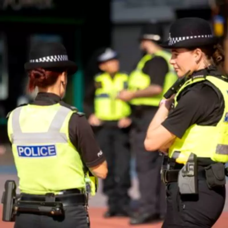
Birmingham's Most Dangerous Postcodes Revealed in Latest Police Crime Figures
Residents across Birmingham can now assess the safety of their local areas thanks to a detailed analysis of recent crime statistics compiled by BirminghamLive. This comprehensive review provides crucial insights into which neighbourhoods experience the highest rates of serious offences, offering a statistical perspective on personal safety risks.
High Crime Areas Identified in Police Data
The analysis, based on West Midlands Police records from the twelve months leading up to January 2026, categorises violent and sexual offences as the most severe crimes. These include incidents ranging from murders and stabbings to sex attacks, domestic abuse, and physical altercations. The data reveals stark contrasts in crime rates across different parts of the city.
Lozells and East Handsworth emerged as the area with the highest number of recorded offences, tallying 2,367 violent and sexual incidents. Aston followed closely with 2,323 offences, solidifying their status as Birmingham's crime capitals. Other neighbourhoods with alarmingly high figures include South Yardley, which reported 2,009 offences, and Stockland Green with 1,986 incidents.

Comparative Safety in Affluent Neighbourhoods
In contrast, more affluent areas such as Sutton Coldfield demonstrated significantly lower crime rates. Sutton Four Oaks recorded just 344 offences, while Sutton New Hall had 489, and Sutton Vesey reported 508. These figures highlight the substantial disparity in safety levels across Birmingham's diverse communities.
West Midlands Police have noted that overall crime is decreasing across the region, but the localized data underscores persistent challenges in specific postcodes. The full breakdown of violent and sexual offences for each Birmingham neighbourhood from Acocks Green to Winson Green is provided below.
Complete List of Violent and Sexual Offences by Area
- Acocks Green - 1,880
- Aston - 2,323
- Bartley Green - 1,285
- Billesley - 1,153
- Bordesley Green - 1,813
- Bournville - 982
- Brandwood - 1,058
- Chelmsley Wood - 817
- Edgbaston - 1,342
- Erdington - 1,371
- Hall Green - 780
- Handsworth Wood - 1,374
- Harborne - 1,042
- Hodge Hill - 1,600
- Jewellery Quarter - 562
- Kings Norton - 1,183
- Kingstanding - 1,478
- Ladywood - 1,422
- Longbridge - 1,513
- Lozells and East Handsworth - 2,367
- Moseley and Kings Heath - 1,216
- Nechells - 811
- Northfield - 1,308
- Oscott - 921
- Perry Barr - 1,361
- Quinton - 1,028
- Selly Oak - 1,106
- Shard End - 1,805
- Sheldon - 1,068
- Small Heath and Highgate - 1,618
- Smith's Wood - 1,583
- Soho Road - 1,088
- South Yardley - 2,009
- Sparkbrook - 1,817
- Springfield - 1,469
- Stechford and Yardley North - 1,472
- Stockland Green - 1,986
- Sutton Four Oaks - 344
- Sutton New Hall - 489
- Sutton Trinity - 914
- Sutton Vesey - 508
- Tyburn - 1,438
- Washwood Heath - 1,674
- Weoley - 1,158
- Winson Green - 1,336
This data serves as a vital tool for residents to understand crime trends in their immediate surroundings, empowering them with knowledge about local safety conditions. While police efforts continue to reduce overall crime, these figures emphasize the need for targeted interventions in high-risk areas to ensure community well-being across all of Birmingham.