
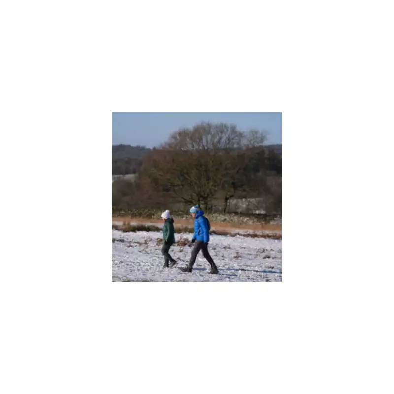
A significant winter weather system, dubbed a 'snow bomb', is predicted to strike large parts of the UK later this month, bringing heavy snowfall and potential disruption. The event is forecast to commence from Monday, January 26, with initial flurries expected from midday.
Forecast Details and Affected Regions
Data from WX Charts, which utilises Met Desk information, indicates a severe downturn in conditions. This comes approximately three weeks after Storm Goretti caused significant impact in Birmingham. The most extreme accumulations are anticipated in Scotland, where a staggering 60 centimetres of snow could settle.
Weather maps show a widespread white hue covering counties across the Home Nations. In England, a total of 21 counties have been identified as being at risk of significant snowfall. The areas include:

- The West Midlands conurbation
- Cambridgeshire
- Yorkshire
- Kent
- Durham
- Cumbria
- Northumberland
Other counties on the alert list are Cheshire, Derbyshire, Herefordshire, Lancashire, Greater Manchester, Shropshire, Leicestershire, Greater London, Oxfordshire, Lincolnshire, Nottinghamshire, Staffordshire, and Worcestershire.
BBC Weather Outlook: High Uncertainty for Late January
The BBC's forecast for the period from Monday, January 26 to Sunday, February 8 suggests a complex and uncertain picture. The broadcaster states conditions will be "Becoming milder and unsettled again at some point."
The BBC Weather team highlights a high degree of uncertainty heading into late January and early February, outlining two potential scenarios. The first involves strong high pressure to the north-east influencing the UK, bringing easterly winds, below-average temperatures, and possible wintry conditions.
However, Atlantic weather systems will continue to approach. The key question is how far these milder, unsettled fronts will progress across north-west Europe. If they make significant inroads, a return to milder and rainy weather would follow.
The forecast concludes: "Bearing in mind the very low confidence, we could see colder conditions continuing through late January before we see some sort of change... by the end of the first week of February we might see milder and rainy conditions returning." The team promises a clearer indication in their Friday outlook.
Preparing for Potential Disruption
Residents in the listed counties are advised to monitor the latest forecasts from the Met Office and BBC Weather closely as the date approaches. The predicted scale of the snowfall, particularly in Scotland, indicates a high potential for travel disruption, school closures, and impacts on infrastructure. The memory of Storm Goretti's recent effects underscores the importance of preparing for severe winter weather, including checking supplies and travel plans.


