
The United Kingdom is preparing for a double-barrelled assault from two rare and hazardous weather phenomena, with new forecast maps placing several regions, including Birmingham, directly in the firing line.
Rare Dual Threat Forecast for February 1
According to predictive maps using the Global Forecast System (GFS), the country faces two distinct and dangerous weather events on February 1. The charts indicate the potential for both freezing rain and ice pellets to hit within days, posing significant risks to travel and infrastructure.
The modelling shows freezing rain, depicted in orange, is scheduled to impact areas including Snowdonia, the north-east, the East of England, and eastern Scotland. Simultaneously, the phenomenon of ice pellets, shown in lime green, could strike Durham, Cumbria, Northumberland, and the Scottish Borders.

West Midlands in the Crosshairs Again
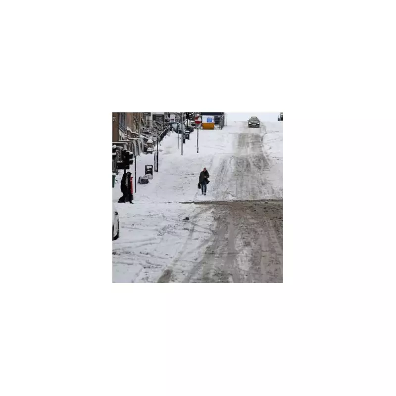
The data further suggests that the West Midlands and the north-west could be the worst affected by a fresh bout of heavy snow on the same date. This places the West Midlands conurbation, and Birmingham specifically, under renewed threat.
This comes just two weeks after the region was last brought to a standstill, when Storm Goretti sparked widespread travel disruption and chaos.
Immediate Forecast: Unsettled and Windy
The BBC Weather forecast for the immediate period outlines continued unsettled conditions. Tuesday, January 20, is expected to bring variable cloud and patchy rain, turning drier and brighter for many in the afternoon. However, wet and windy weather will persist in the south-west, spreading into Northern Ireland and Wales later.
Tonight will be breezy with a band of rain moving north-eastwards, reaching Scotland and south-east England by dawn. Wednesday, January 21, will see spells of rain clearing in the far north and east, before further rain from the south pushes northwards through the day, reaching southern Scotland by the afternoon, making for a windy and blustery day.
The outlook for Thursday to Saturday indicates:
- Thursday: Windy and cloudy with blustery rain and showers. A risk of snow on northern hills.
- Friday: Another unsettled day with cloudy skies and outbreaks of rain, more persistent in the south-west. Rain may turn wintry over high ground in the north. Remaining windy.
- Saturday: Conditions turning calmer and brighter from the south, though staying cloudy in the north.
Residents across the affected regions, particularly in the West Midlands, are advised to stay updated with the latest weather warnings and travel advice as the February 1 forecast develops.


