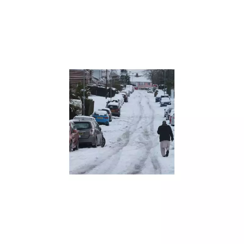
Residents across the Midlands are being urged to stay vigilant after the Environment Agency issued eight separate flood alerts for the region on Monday, January 12. The warnings come as the Met Office cautioned that a rapid thaw of snow dumped by Storm Goretti could lead to significant flooding.
Active Flood Warnings Across the Region
As of 8.43am on Monday morning, the Environment Agency confirmed that flooding was possible in several areas. The alerts currently in force cover multiple waterways, indicating a widespread risk. The affected locations include:
- Bourne Brook in Tamworth
- The Middle Avon from Rugby to Bidford
- The Middle Tame
- The River Anker and River Sence
- The River Blythe in Warwickshire
- The River Cole
- The River Stour and Smestow Brook in the Black Country and South Staffordshire
- The Upper Tame
Rising Temperatures Trigger Rapid Thaw
The primary cause for concern is a sharp rise in temperatures following the severe winter conditions brought by Storm Goretti. The Met Office has highlighted that snow melt and a "rapid thaw" across northern parts of the UK, combined with further rainfall, are creating perfect conditions for flooding.
Met Office meteorologist Tom Morgan explained the situation. "Combined with the rainfall, the higher temperatures, we will see some flooding due to the snow melt gradually as we go through the next few days, so that’s the main concern," he stated.
Forecasters predict highs of around 11°C in England and Wales today, with temperatures reaching up to 7°C in parts of Scotland and Northern Ireland. This marks a significant shift from the recent deep freeze.
Ongoing Impact and Unsettled Week Ahead
The aftermath of Storm Goretti continues to be felt. According to the National Grid's website, more than 12,000 properties were still without power on Sunday evening following the severe weather.
Looking ahead, Mr Morgan indicated that the week would start on a "milder note" and be frost-free, but remain unsettled. "It will generally be a fairly wet and windy week to come, with showers or longer spells of rain and some dry interludes too," he said.
He added that while Wednesday might be the driest day, most days would see scattered showers or generally wetter conditions. Temperatures are expected to be closer to the seasonal average, making it feel less cold than the preceding ten days of January.
Authorities advise the public to monitor local updates, avoid driving through floodwater, and check on vulnerable neighbours as the thaw progresses and flood risks persist.


