
Britain is bracing for a prolonged period of wintry weather, with advanced meteorological models indicating a significant three-day snowfall event is on the horizon. The predicted 'snow bomb' is currently forecast to commence on Sunday, January 18, and persist through Monday, January 19, and Tuesday, January 20.
Timeline and Predicted Snowfall Accumulation
According to detailed modelling data from WX Charts, which utilises the sophisticated ECMWF system, the initial flurries will make landfall on the 18th. The areas first in line for the heaviest snow include Yorkshire, the Pennines, and parts of Scotland. In these regions, snowfall rates could reach an intense four inches per hour at the peak of the event.
The wintry conditions are then expected to spread further south by the following day. Greater Manchester, Lancashire, and Stoke-on-Trent could all see accumulations, with potential snowfall rates of around one inch per hour. Snow depth projections for midday on January 20 paint a stark picture for the far north, where some parts of northern Scotland could see up to 40cm (16 inches) settling on the ground.

Wider Impacts and Forecaster Analysis
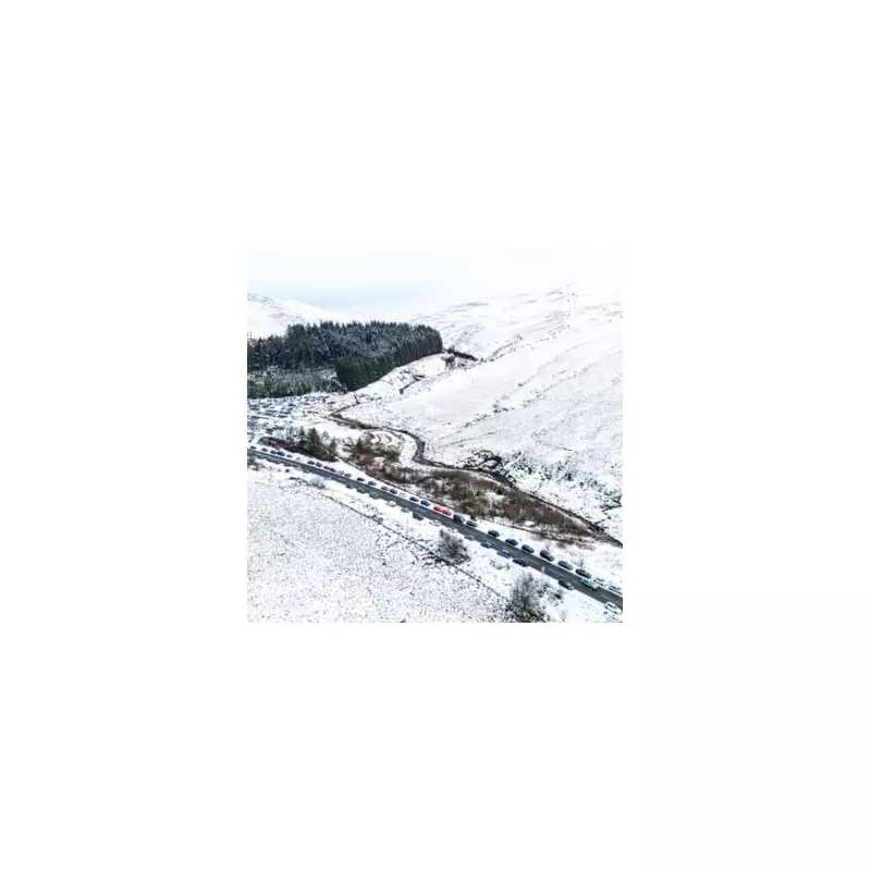
The snow won't be confined to Scotland and northern England. The same weather charts suggest that Wales could see up to 7cm (3 inches) of snow, while other parts of northern England may receive around 6cm (2 inches).
Commenting on the broader pattern, Nick Finnis from Netweather TV outlined a mixed week ahead. "Wednesday [January 14] sees a drier and brighter respite," he noted, before explaining that rain will return. He indicated that the coming weekend is likely to remain unsettled and mild, with no immediate return to widespread cold. However, he added a caveat: "There are hints that the Atlantic jet stream-driven conveyor of lows may run out of steam later this month... bringing colder conditions back again, but low confidence on this scenario for now."
Expert Warnings for Late January
Other forecasters are sounding a more definite alarm for the third week of January. James Madden from Exacta Weather stated that while this weekend's snow may be transient, confidence is growing for a more substantial event. "We will now be entering a third week with some kind of cold and snow in the forecast," Madden said, pointing specifically to the dates of January 18-19.
He forecasts an intensification of cold and snow prospects around these dates and into late January, driven by an influx of Arctic air. "Colder sourced Arctic air and cold north to east winds [will] flood in across our shores," Madden warned, suggesting the potential for more widespread and significant snow disruption across many parts of the country as the month draws to a close.


