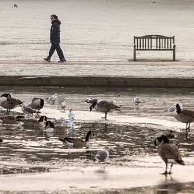
The Met Office has triggered multiple yellow weather warnings as a significant cold snap prepares to blanket England with snow and ice this week. Forecasters anticipate disruptive conditions across 52 specific locations from Wednesday through Thursday, marking the first substantial winter weather event of the season.
Widespread Snow and Ice Threats
Cold Arctic air from the north has established control over the UK's weather pattern, bringing an early taste of winter conditions as we move deeper into November. The forecasting agency has implemented a series of yellow alerts for both snow and ice, highlighting potential hazards for travellers and residents alike.
The warnings remain active throughout Wednesday, November 19, and Thursday, November 20, expiring at 11.59pm on Thursday evening. The affected regions span from northern territories including the North East and North West to the East Midlands and even isolated pockets of southern England.
Substantial Accumulations Expected
At its most severe, the snowfall could reach depths of eight inches (20cm) in elevated areas. Met Office Chief Forecaster Neil Armstrong explained the meteorological dynamics behind this early cold snap.
"Cold Arctic air from the north is firmly in charge of the UK's weather, bringing the first notable cold snap of this autumn and giving an early taste of winter weather," Armstrong stated. "As a result, winter hazards are likely through the next few days, with snow and ice a particular hazard, and the coldest conditions likely on Wednesday and Thursday."
He further detailed that "wintry showers will affect areas exposed to the brisk northerly wind, in particular Northern Ireland, southwest Wales, southwest England, northeast England and across the northern half of Scotland."
Regional Impacts and Temperature Plunge
While not all locations will experience settling snow, areas with frequent showers could see accumulations of 2-5 cm. Higher ground in Scotland might receive 15-20 cm, while the North York Moors and Yorkshire Wolds could potentially see 15-25 cm of snowfall.
The temperature drop will be equally significant, with Armstrong noting: "Temperatures are well below average for the time of year and could get as low as -11°C in rural parts of Scotland on Thursday night, with daytime temperatures generally in low single figures for many."
He added a crucial warning for motorists and pedestrians: "With clear skies, overnight ice could create some particularly tricky travel conditions."
The 52 specific English locations under Met Office warnings include:
- Northern areas: Shap in Cumbria, Redesdale, Morpeth, Albemarle in Northumberland, Crook in Durham
- Yorkshire and Northeast: Fylingdales, Leeming in North Yorkshire, York, Bradford, Bramham in Leeds, Hull, East Riding of Yorkshire
- Northwest: Stonyhurst in Lancashire, Rochdale, Crosby in Merseyside, Rostherne in Cheshire
- Midlands: Sheffield, Hawarden Airport, Leek in Staffordshire, Newcastle-under-Lyme, Stafford, Shawbury in Shropshire, Nottingham, Coleshill in Warwickshire, Leicester, Waddington, Northampton
- Eastern England: Skegness, Tibenham in Norfolk, Norwich, King's Lynn and West Norfolk, Wattisham in Suffolk, Andrewsfield in Essex, Southend-on-Sea, Cambridge
- Southern regions: Woburn in Bedfordshire, Rothamsted, London Heathrow, Odiham in Hampshire, Thorney Island in West Sussex, Hurn in Christchurch
- Southwest: Boscombe Down, Exeter Airport, North Wyke in Devon, Cardinham, Liscombe in Somerset, Almondsbury, Westonbirt, Brize Norton, Little Rissington
The Met Office advises residents across these regions to monitor forecast updates and prepare for potentially hazardous travel conditions as this early winter weather system develops.


