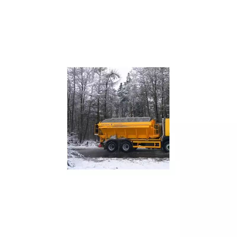
The UK is set for a significant wintry blast this Friday, with forecasters predicting a 'massive chunk' of snow to hit parts of the country. Data from WX Charts, which utilises Met Desk information, indicates a sharp downturn in conditions around December 5.
Which Areas Are Most at Risk?
Maps show a concentrated band of snow targeting England's east coast and northern regions. Eight counties are specifically highlighted for disruptive snowfall. In the East Midlands, Lincolnshire, Nottinghamshire, Derbyshire, and Leicestershire are expected to see white blotches and patches.
Further north, the areas at risk include Yorkshire, Cumbria, Durham, and Northumberland. Iconic landscapes like the Lake District, Yorkshire Dales, and the Pennines are forecast to face wintry showers and precipitation.
Separately, significant snowfall is also predicted above the border in Scotland. Areas including Dundee, Aberdeen, and Glasgow could be affected. The most severe conditions are anticipated on Friday, with the potential for disruption to linger into the weekend.
Unsettled Weather Pattern to Continue
According to Netweather TV, the outlook remains unsettled. "Into Friday, patchy rain and showers will continue for some, especially near to coasts," they stated. "The next band of rain will arrive from the southwest during the day though."
Saturday is described as looking "particularly active" with numerous showers, some merging into longer spells of rain, driven by low pressure. A brief respite may occur on Sunday before yet another band of rain is likely to arrive from the southwest.
Context of Saturated Ground
This week's forecast comes on the back of exceptionally wet weather. The blog post emphasised that heavy and persistent rain on December 1st and into Tuesday saw parts of south-west England and Wales receive nearly a month's worth of rainfall in a short period.
Consequently, the Environment Agency and Natural Resources Wales issued flood warnings earlier in the week. With the ground already saturated, even modest additional rainfall could lead to local travel disruption, particularly on wet roads in western areas.
Looking further ahead, the long-range outlook suggests the unsettled pattern will hold, though there are hints of drier conditions potentially developing after mid-December.


