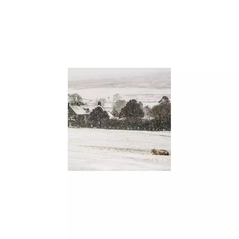
The Met Office has issued a series of yellow weather warnings for ice and rain as a prolonged cold snap continues to hold the United Kingdom in its grip. Britons are being warned to prepare for hazardous travel conditions and a potential flooding threat as sub-zero temperatures follow recent snowfall.
Widespread Ice and Ongoing Snowfall Risks
Widespread ice warnings are active across Scotland and parts of northern England, where wet surfaces are expected to freeze over on Tuesday night. The Met Office states these dangerous conditions will likely persist through Wednesday morning, significantly raising the risk of slips, falls, and treacherous untreated roads.
Further wintry showers are forecast to push inland from the west, bringing fresh accumulations of snow to higher ground and potentially to some lower levels. Officials warn that snowmelt from earlier in the week will refreeze overnight, exacerbating the danger on pavements and cycle paths.

Heavy Rain and Flooding Threat for the South
The weather picture is set to change dramatically on Thursday as a deepening area of low pressure moves northeastwards across England and Wales. This system will bring a band of heavy rain, marking a transition for southern areas where the ground is already saturated.
This saturation dramatically increases the likelihood of surface water flooding. The forecast predicts widespread accumulations of 20-40mm of rain across the south, with isolated spots potentially seeing up to 70mm. This deluge, combined with melting snow in some regions, could lead to significant travel delays and even flooding for some properties.
Travel Disruption and Local Forecast for Birmingham
National Highways and transport operators are urging drivers to prepare winter emergency kits and check road conditions before embarking on any essential journeys. Disruption to national rail and bus services is also possible as the mix of ice and heavy rain affects infrastructure.
Focusing on the Midlands, Birmingham is currently experiencing cold, clear conditions with a significant risk of ice overnight on Tuesday, January 13, 2026. The city is bracing for a sharp temperature drop, with overnight lows of -2°C leading to widespread frost. Clear spells will cause any residual moisture to freeze, making Wednesday morning's commute potentially hazardous.
Wednesday daytime will remain crisp and bright with plenty of sunshine, though it will feel bitterly cold with highs of just 3°C. Light winds will make it feel close to freezing throughout the day for anyone outdoors. The city then awaits the incoming period of heavy rain set for later in the week.