
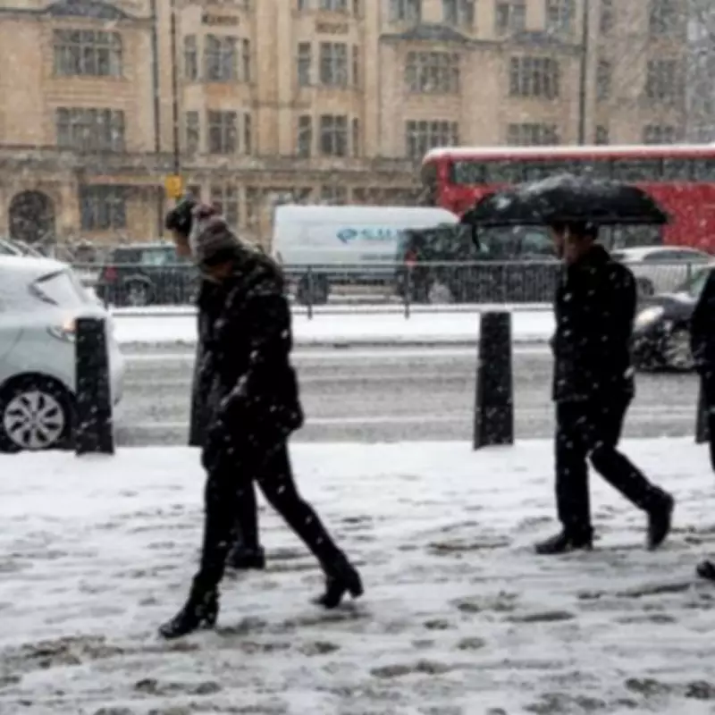
The Met Office has announced widespread snow warnings for three of the four Home Nations, with England, Wales and Scotland all facing potential snowfall on Friday, January 30th. Forecasters have issued yellow weather alerts, indicating that significant disruption could occur in affected areas.
Regions at Risk of Snowfall
According to the latest forecast, specific regions have been identified as most likely to experience snow. The Met Office has earmarked several areas where the white stuff is expected to materialise, particularly on higher ground. These locations include:
- High ground in Wales
- Northern parts of Wales
- Northern England
- Scotland
- The Pennines
- The Scottish Highlands
The Met Office has cautioned that while snow is anticipated in these regions, it may be "short-lived" and is more likely to fall as rain at lower elevations. Nevertheless, the potential for icy conditions and travel disruption remains a concern for residents and commuters.

Weather Warnings and Forecast Details
In addition to the snow warnings, the Met Office has also issued yellow weather warnings for rain across parts of the UK. A rain warning is in force for Northern Ireland throughout much of Friday, while another area of low pressure is expected to bring further rainfall to southwest England later in the day, extending into Saturday morning.
BBC Weather presenter Chris Fawkes provided additional insight, stating: "Rain is likely to turn to hill snow across the Pennines and Scottish Southern Uplands on Thursday night and into Friday morning." He estimated that approximately 2-7cm of snow could accumulate above 200 metres elevation, creating icy conditions and posing a threat of localised disruption.
Travel Advice and Precautions
With the potential for hazardous conditions, travellers are advised to exercise caution, particularly when using higher routes. Specific roads that may be affected include:
- A57 Snake Pass
- A628
- M62
- A66
- A7
Motorists planning journeys through these areas are encouraged to check road conditions before setting out, as icy surfaces and reduced visibility could make driving challenging.
Meteorological Context
Met Office Deputy Chief Forecaster Stephen Kocher explained the broader weather patterns contributing to the unsettled conditions. He noted: "The temperature contrast in North America is helping to invigorate the jet stream, which is a driver for much of the UK's weather."
Kocher further elaborated that the strengthened jet stream is facilitating the development and intensification of low pressure systems, which are being pushed towards the British Isles. This meteorological pattern has been responsible for the recent bout of unsettled weather and is likely to persist into the following week, bringing further unpredictable conditions.
The combination of rain and snow warnings underscores the volatile nature of the current weather system, with multiple regions across the UK advised to stay informed about local forecasts and prepare for potential disruptions to travel and daily activities.


