
The Met Office has escalated warnings for 23 specific areas across the United Kingdom, alerting residents to the heightened risk of power cuts as the second major storm of January, named Ingrid, approaches. This severe weather system, identified by the Portuguese meteorological service IPMA, is forecast to deliver intense bouts of heavy rainfall and powerful winds, particularly targeting southwest England and south Wales from the early hours of Friday, January 23rd.
Immediate Weather Threats and Disruption
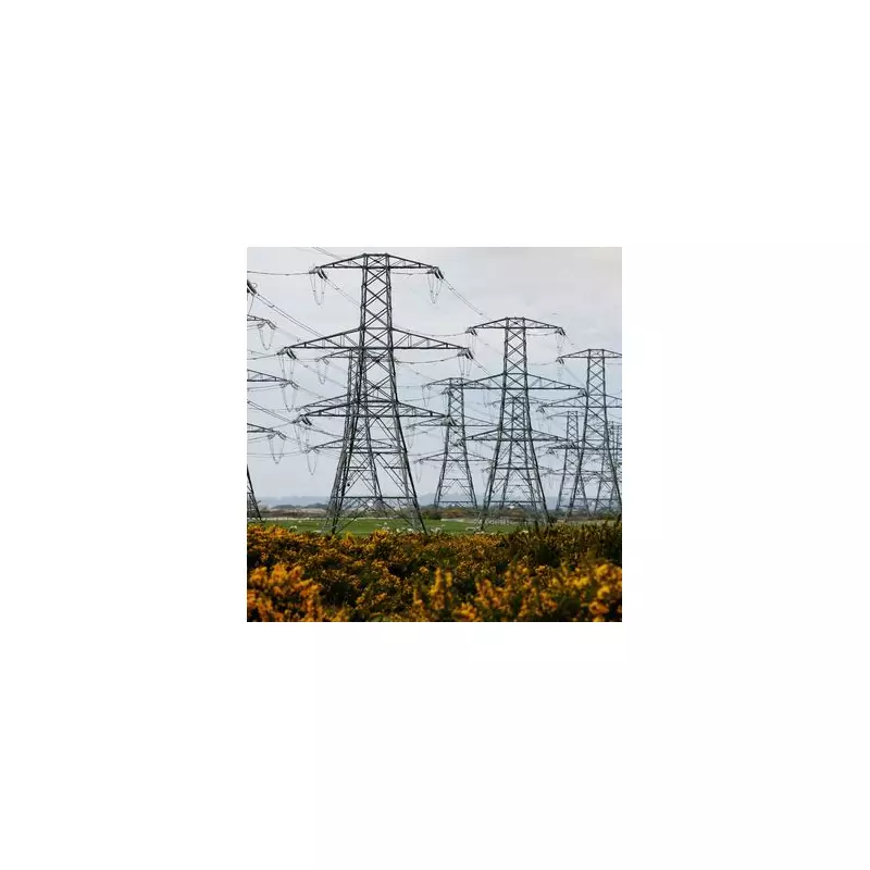
An official yellow weather warning has been activated, covering the period from 2am on Friday through to 9am on Saturday, January 24th. The primary concerns are significant travel disruption and localised flooding due to the expected deluge. The Met Office has explicitly stated that some short-term loss of power and other essential services is a distinct possibility for affected communities.
The forecast indicates an initial band of rain early on Friday could deposit a further 10-20mm of rainfall in just a few hours. This is particularly problematic as it will fall onto ground already saturated from previous weather systems. Following a brief drier interval, further heavy showers and rain bands are predicted to push northwards throughout Friday afternoon, evening, and overnight.

Wind and Rainfall Projections
By Saturday morning, a widespread additional 15-20mm of rain is anticipated across the warning area, with isolated spots potentially seeing 30-40mm. This substantial rainfall, combined with the already waterlogged ground, creates a high likelihood of flooding in vulnerable locations.
Accompanying this rain will be strong winds and coastal gales, with very large waves expected. Inland gusts are forecast to reach 45-50mph, while coastal areas could experience winds of up to 60mph. These winds are expected to peak during Friday evening before gradually subsiding overnight and into Saturday morning.
Longer-Term Forecast: The Return of Snow
Looking further ahead to next week, the Met Office's longer-range forecast suggests a continued period of unsettled weather. The agency predicts that weather systems from the Atlantic will attempt to move into the UK but may stall as they meet high-pressure systems to the north and northeast.
This pattern is expected to bring further spells of rain or showers, which could be heavy and persistent, especially in southern and western regions. While milder conditions may temporarily reach the south and southwest, cold air is likely to remain entrenched to the northeast, bringing wintry showers.
Where frontal systems from the southwest interact with this colder air to the northeast, there is a renewed risk of snowfall. This is most probable over higher ground and in the north of England and Scotland, but it could extend to other areas at times, indicating that the disruptive weather is set to continue.
Areas Under the Power Cut Alert
The full list of 23 areas identified by the Met Office as facing a risk of power cuts and disruption on Friday and Saturday is:
- Cornwall
- Devon
- Dorset
- Isles of Scilly
- North Somerset
- Plymouth
- Somerset
- Torbay
- Blaenau Gwent
- Bridgend
- Caerphilly
- Cardiff
- Carmarthenshire
- Merthyr Tydfil
- Monmouthshire
- Neath Port Talbot
- Newport
- Pembrokeshire
- Powys
- Rhondda Cynon Taf
- Swansea
- Torfaen
- Vale of Glamorgan
Residents in these regions are advised to prepare for potential service interruptions and exercise caution during travel.


