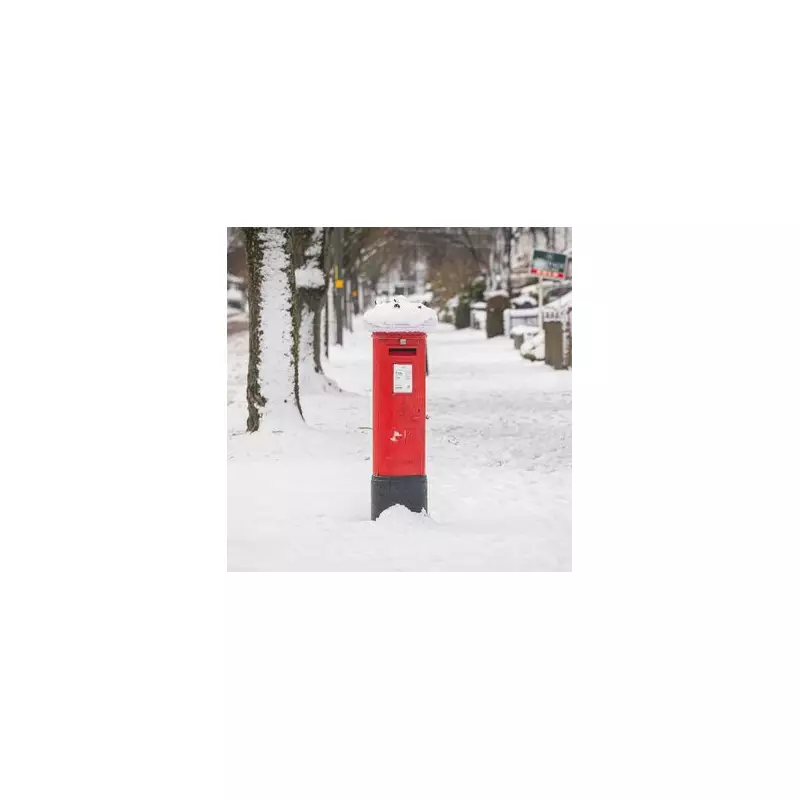
Two English Counties Set to Dodge Major Snowfall as Vast Winter System Approaches
Detailed weather maps have revealed a significant winter event poised to impact the United Kingdom next week. A substantial mass of snow, stretching an impressive 388 miles, is forecast to sweep across dozens of counties, bringing wintry conditions to much of England.
Timing and Trajectory of the Incoming Snow
The meteorological data indicates that this extensive wall of snow is scheduled to arrive on Tuesday, January 27. According to projections from WX Charts, the system will first make landfall in the South West of England and parts of Wales at approximately 6am. From there, it is predicted to move steadily eastwards throughout the day.
Forecast models show that nearly all English counties will experience some degree of snowfall during this event. The maps depict a widespread blanketing, turning large swathes of the country white as the system progresses.

The Counties Expected to Escape the Worst
Despite the broad reach of this winter weather, two southern counties are currently predicted to avoid the heaviest accumulations. Cornwall and Hampshire are expected to remain largely clear of the significant powdering forecast for elsewhere. This exception provides a notable contrast to the conditions anticipated for the majority of the region.
Specific Impact on the West Midlands Region
The forecast for the West Midlands is particularly detailed. The region is expected to come under the blanket of snow by midday on Tuesday. Current models suggest the snowfall will persist, lasting continuously until 6am on Wednesday, January 28. This results in a total snowfall duration of approximately 18 hours for the area, indicating a sustained and potentially disruptive winter weather event.
Broader Meteorological Context and Official Outlook
This specific snow event aligns with broader warnings from the Met Office regarding colder conditions developing in the latter part of January. In its long-range forecast covering January 25 to February 3, the national weather service has outlined a pattern where weather systems from the Atlantic will attempt to push into the UK but are likely to stall.
The Met Office states: "Weather systems moving in from the Atlantic will continue to attempt to push in from the west, but tending to stall in the vicinity of the UK as they encounter high pressure to the north and northeast."
This scenario is expected to lead to further spells of rain or showers, which may be heavy and persistent, especially in southern and western areas. While milder conditions may briefly encroach into the south and southwest, the overall trend is toward colder temperatures. This increases the risk of snow showers, most probable across hills in Scotland and northern England, adding to the wintry picture for the nation.
Residents across England, particularly in the West Midlands and other areas in the path of the 388-mile system, are advised to monitor local forecasts closely and prepare for potential travel disruptions and winter conditions early next week.