
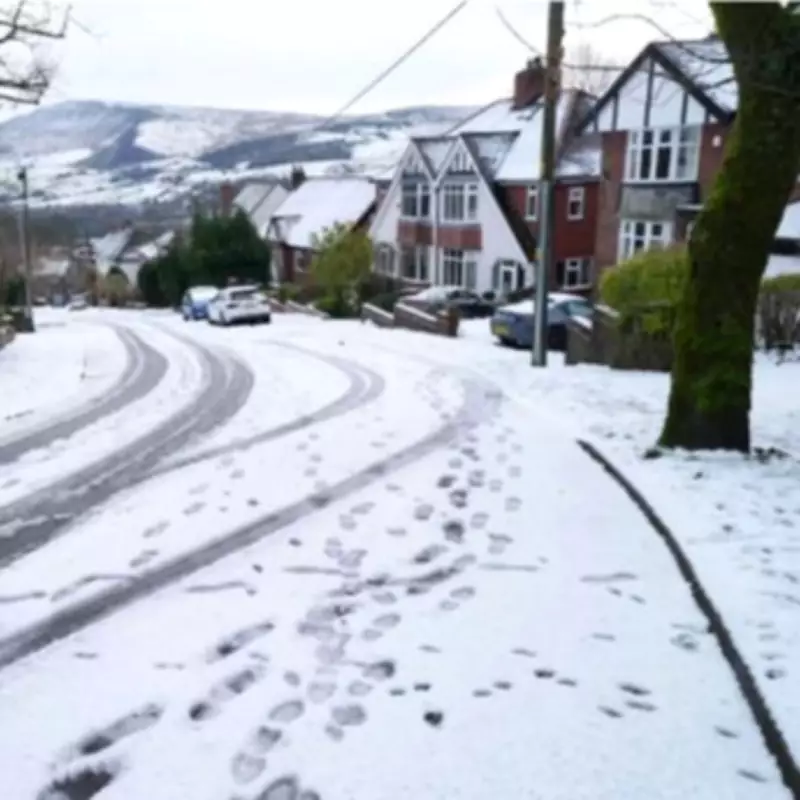
The United Kingdom is preparing for a significant winter weather event as meteorological experts predict three separate 'snow bombs' could strike the nation throughout February. According to detailed forecasts from WX Charts, each of these winter storms has the potential to deliver up to 20 inches of snowfall, with precise dates now identified for their anticipated arrival.
First Snow Bomb: February 11th
The initial wave of severe wintry weather is projected to hit on Tuesday, February 11th. Maps and charts based on the Global Forecast System (GFS) indicate this first snow bomb will primarily affect northern regions of the UK. Areas at highest risk include northern England, north Wales, and substantial parts of Scotland, where residents should prepare for potentially disruptive conditions.
Second Snow Blast: February 12th
Merely a day later, on Wednesday, February 12th, a second concentrated snow blast is forecast to arrive. This system is expected to focus its impact on southwestern England, while also bringing significant snowfall to Greater London and the surrounding Home Counties. The rapid succession of these weather events could create challenging travel conditions across southern regions.

Third and Final Bomb: February 14th
The most extensive weather event arrives on Friday, February 14th, with a third and final snow bomb predicted to affect nearly the entire country. Forecast maps show the whole of the UK turning purple - the colour code indicative of widespread snowfall. This Valentine's Day storm could bring the most comprehensive winter disruption of the series.
Broader Weather Context
The BBC Weather team confirms that the period from Monday, February 9th to Sunday, February 15th will see temperatures becoming colder more widely across the UK. Meteorological analysis suggests a colder set-up is expected to develop during the second week of February, as stronger high pressure builds from northern and north-western approaches.
This atmospheric pattern will create resistance against milder air attempting to move northward, allowing colder air masses to dominate. Temperatures are predicted to drop below seasonal averages across all UK regions, with even southern England experiencing at least slightly below-normal temperatures.
Additional Weather Factors
The cold conditions will be intensified by brisk easterly winds at times, particularly affecting eastern coastal areas where wind chill could make conditions feel especially severe. While changeable conditions are expected throughout the period, forecasters anticipate somewhat drier weather overall, especially later in the week.
Occasional showery outbreaks remain likely, potentially turning wintry over higher ground and descending to lower levels in some northern regions. However, meteorologists currently see no sign of any major snow event beyond the predicted systems. Drier and calmer interludes between storms may lead to sharp overnight frosts and increased risks of fog formation.
Residents across the UK are advised to monitor official weather warnings and prepare for potential travel disruption, school closures, and increased demands on emergency services as these three significant winter weather systems approach.


