
UK Snow Alert: Three Regions Brace for Disruptive Wintry Weather Early Next Week
The Met Office has issued a specific warning for three key areas of the United Kingdom, forecasting disruptive snow early next week. This comes after parts of the country experienced significant disruptions earlier this month, highlighting the potential for similar impacts.
Targeted Regions for Snowfall
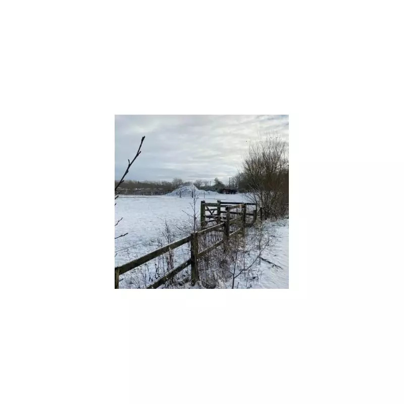
Eastern Scotland, North East England, and the northern hills of England have been identified as the primary areas facing snow. These regions are expected to see flurries as a wintry weather system moves across the UK, potentially causing travel delays and other disruptions.
Extended Forecast and Cold Snap
Disruptive weather is predicted to persist through Tuesday, January 27, marking a cold transition from late January into early February. Forecasters describe the upcoming period as unsettled, with frequent wet and windy conditions. A significant cold snap is anticipated, bringing temperatures down to 4°C to 6°C below the seasonal average by Monday, driven by colder air from north-east Europe.

Storm Ingrid and Wind Impacts
Storm Ingrid is expected to affect south-western parts of England with rain and wind, while the rest of the country experiences a brisk wind shifting from the south-east to the east. Strong winds and coastal gales are likely to develop, particularly in the southwest as rain bands move north, with a windy weekend outlook and showers often merging into longer spells of rain.
Snow Risk and Weather Patterns
Higher ground in Wales, northern England, and parts of Scotland faces the highest risk of snow on Tuesday, as a new weather system from the west meets pre-existing cold air. Early forecasts for Friday indicate cloudy skies with rain for most areas and some hill snow in Scotland, with drier intervals possible before another band of rain reaches the southwest later in the day.
Transition to Milder Conditions
By Tuesday, a weather system approaching from the west is expected to bring slightly milder air and rain to lower levels. However, due to lingering cold air, precipitation will likely still fall as snow over higher terrain, maintaining the wintry threat in elevated regions.


