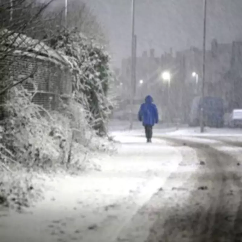
Meteorological models are indicating that an impending winter weather system, colloquially termed a 'snow bomb', is set to be far more extensive than initially anticipated, with twenty-three counties across England now under threat for significant snowfall next week.
Advanced Modelling Predicts Extensive Disruption
According to the latest data visualisations from WX Charts, a substantial band of wintry precipitation is projected to sweep across the nation on February 13. The advanced modelling paints a stark picture, with the entirety of England appearing white on the forecast maps, signalling a widespread weather event.
Counties at Risk from Coast to Coast
The geographical spread of this anticipated snow event is considerable, encompassing regions from the southern coastline right through to the North West and North East of England. The list of counties identified as being at particular risk is extensive and includes:
- East Sussex, Kent, West Sussex, and Surrey
- Berkshire, Greater London, and Hampshire
- Buckinghamshire, Hertfordshire, and Wiltshire
- Bedfordshire, Oxfordshire, and Gloucestershire
- Warwickshire, Worcestershire, and Herefordshire
- Shropshire, Staffordshire, and Leicestershire
- Derbyshire and Cheshire
- Merseyside and Greater Manchester
Meteorological Processes Behind the Forecast
Jo Farrow, a forecaster from Netweather TV, has provided insight into the short-term weather patterns contributing to this forecast. She explained the phenomenon of orographic uplift, where moisture-laden air is forced to rise upon encountering high ground, leading to cooling, condensation, and subsequent precipitation.
"For today into Tuesday, an easterly flow will push the moisture-laden air against the high ground of Dartmoor and the Brecon Beacons but create a rain shadow to the W/NW," Ms Farrow stated. "This is orographic uplift, when air is forced to rise by high ground. It cools and the water vapour condenses into clouds, cools further and then it rains or snows."
She further noted that a similar process has been affecting north-eastern and eastern Scotland for over a week, with moist air from the North Sea being forced upwards by the Grampian mountains, leading to persistently damp conditions described by the Scottish term 'dreich'.
A Cold Air Twist on the Horizon
Ms Farrow concluded her analysis by hinting at a developing shift in the atmospheric setup, indicating that colder air is expected to influence the pattern, potentially intensifying the wintry conditions forecast for next week across England.


