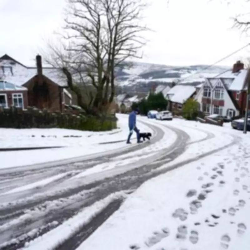
The Met Office has released a detailed forecast naming all the UK areas anticipated to experience snowfall before the end of Monday, as a significant drop in temperatures brings wintry conditions across the country this weekend. Towns and cities are bracing for a light dusting of snow, with meteorologists highlighting the potential for disruptive weather patterns.
Weekend Weather Warnings and Snow Predictions
On Friday, a rain warning remains in effect for much of Northern Ireland throughout the day. According to the Met Office, this precipitation could intermittently transition into wintry showers, leading to snow flurries that may blanket parts of the nation. In an official statement on its website, the forecasting body explained, "As it moves northeast overnight, this front is likely to bring some short-lived snowfall to high ground."
Specific Areas Facing Snowfall
The Met Office has specifically earmarked the following regions as being at risk of snow accumulation:
- North of Wales
- Northern England
- Northern hills in England
- Northern hills in Scotland
- Scotland
This alert comes as part of the Met Office's comprehensive five-day forecast, which notes that unsettled conditions will persist into Sunday and the start of the upcoming week. The forecast warns of showers or prolonged periods of heavy rain affecting most areas, accompanied by brisk winds at times.
Extended Outlook and Historical Context
The weather outlook, covering Saturday, January 31, through Sunday, February 1, and extending to Tuesday, February 3, indicates "further snow on northern hills." This prediction follows a particularly disruptive January, marked by severe storms that caused widespread damage across the UK.
Impact of Recent Storms
Nick Finnis from Netweather TV commented on the recent extreme weather events, stating, "Storms Goretti and Ingrid in mid January arrived in quick succession." Storm Goretti led to significant disruption in Cornwall, with gusts reaching 99 mph that toppled numerous trees and caused power outages for tens of thousands of homes. This storm was noted as one of the most impactful for the region in over three decades.
Subsequently, Storm Ingrid brought massive waves that damaged a sea wall adjacent to the main railway line near Dawlish in Devon, washing away a historic pier and affecting properties in a scenic area. The cumulative rainfall from these storms has saturated the ground, exacerbating the effects of more recent precipitation.
Record Rainfall and Saturation Concerns
Storm Goretti delivered substantial rainfall, particularly in southwest Wales and eastern England. The highest totals were recorded in Cornwall, with 61.8 mm at Colliford Dam, followed by 57 mm at Ddolwen Bridge in Dyfed, and 54 mm at White Barrow in Devon. This was compounded by Storm Chandra, which brought record-breaking daily rainfall to southern and western areas earlier this week.
White Barrow in Devon saw 115.1 mm from Storm Chandra, with other parts of Devon receiving 65-75 mm. In Northern Ireland, Katesbridge in County Down experienced its wettest January day ever, with 100.8 mm of rain on Tuesday, shattering the previous January record of 38.2 mm. The saturated ground conditions heighten concerns for potential flooding and travel disruptions as the new snow forecast takes effect.


