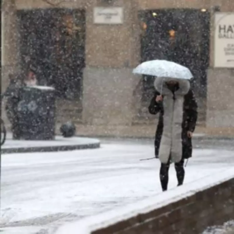
The Met Office has released a comprehensive five-day weather forecast, highlighting significant snow risks for multiple regions across the United Kingdom starting from Monday evening. This alert comes alongside warnings of persistent rain and potential localised flooding in southern England and Wales.
Detailed Forecast and Snow-Prone Areas
According to the latest meteorological updates, rain is expected to spread into southern England and Wales this evening, with the possibility of localised flooding causing disruptions. The forecast indicates that spells of rain and snow are likely at various times, accompanied by windy conditions that will affect many parts of the country overnight.
Tuesday's Weather Outlook
On Tuesday, February 3, the Met Office predicts that conditions will remain cloudy and windy, with outbreaks of rain for many areas. These showers are expected to turn heavy at times, adding to the challenging weather scenario. Meteorologists from the Met Office have emphasised that spells of rain and mainly hill snow will continue in the northeast, with a particularly windy night anticipated for numerous regions.
The forecast further states: "Remaining cloudy and windy with outbreaks of rain for many, turning heavy at times. Further hill snow in northeast Scotland, and to lower levels in the Northern Isles. Feeling cold." The unsettled pattern is set to persist, with showers or longer spells of heavy rain affecting most areas, coupled with brisk winds at intervals.
Specific Regions at Risk of Snow
The areas identified as being at risk of snow on Monday, February 2, and Tuesday, February 3, include:
- North East England
- Northeast Scotland
- The Northern Isles
Looking ahead to the broader week, Ian Simpson from Netweather TV commented on the uncertainty surrounding the weather patterns. He noted: "It is also possible that this could go the same way as the previous attempt at a cold easterly." Simpson explained that the GFS ensembles show support for low pressure remaining positioned to the south-west of Britain, potentially maintaining a dull and wet regime.
Model Discrepancies and Future Predictions
There is considerable divergence among weather models regarding the development of a cold easterly flow. The European ECMWF model currently shows the strongest support for very cold air moving towards the UK, while the Met Office model outputs are more aligned with the GFS, indicating a continuation of wet conditions. This discrepancy underscores the ongoing uncertainty about whether a significant cold spell will materialise.
Simpson added another layer of complexity by mentioning the potential for a sudden stratospheric warming event towards mid-February. Such an event could increase the likelihood of cold and potentially snowy weather later in the month, although its impact remains speculative at this stage.
He concluded by highlighting the unusual persistence of a stagnant blocking pattern, which has contributed to exceptional rainfall totals in some parts of Britain over the past fortnight. This pattern explains the prolonged period of unsettled weather and the current forecasts for rain and snow across the UK.


