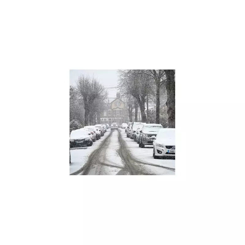
The Met Office has issued a stark warning to households across the United Kingdom, highlighting three specific regions that are set to experience disruptive snow flurries in the coming days. As the country grapples with the arrival of Storm Ingrid, the second major weather system of January, forecasters are urging vigilance against potential wintry hazards.
Storm Ingrid Brings Unsettled Conditions
Currently, the UK is under the influence of Storm Ingrid, which was named by the Portuguese weather service. This system is delivering persistent rain and strong winds to south-west England and Wales, with a yellow weather alert from the Met Office remaining active until 9am tomorrow. Additionally, a separate rain alert has been implemented for central and eastern Scotland, valid until 9am on Sunday.
Recent weeks have seen a succession of low-pressure systems moving in from the Atlantic, creating volatile weather patterns. These systems, when they collide with cold Arctic air, have triggered unsettled conditions and significant snowfall in various parts of the nation.
Three Key Areas at Risk of Snow
The national weather agency has pinpointed three primary areas where snow is most likely to accumulate. These regions are eastern Scotland, the north-east of England, and the northern hills. The Met Office stated, "The weather will remain unsettled for much of the UK, with cold air bringing the chance of wintry hazards in the north."
Looking ahead to tonight, the forecast indicates unsettled conditions with bands of rain moving northwards across much of the country. Further hill snow is anticipated across eastern Scotland, while frequent showers and coastal gales are expected later in the south-west.
Weekend and Early Week Forecast
For Saturday, rain and hill snow across the north-east should begin to ease. However, elsewhere, showers will often merge into longer spells of rain, particularly across the south-west. The day will be widely windy with coastal gales affecting many areas.
In the outlook from Sunday to Tuesday, conditions are predicted to turn colder. The Met Office forecasts that the weather will remain unsettled throughout, with bands of rain moving north and east across the country. As colder air pushes in from the north-east, there is an increasing risk of snow, especially over northern hills.
Met Office Chief Forecaster Andy Page elaborated, "Unsettled weather continues for many across the UK with persistent and heavy rain in parts of Scotland with snow over higher ground, and strong winds and heavy rain in southwestern England and southern Wales. Elsewhere while it’ll be a breezy weekend there will be brighter and drier spells with occasional showers passing through fairly quickly."
Detailed Predictions for Next Week
A more detailed forecast for the start of next week suggests a brief quieter period for many on Monday, with some patches of fog expected. However, later in the day, a new frontal system will approach from the west, bringing rain into Northern Ireland and western Britain.
As this front meets the colder air being pushed in from the east in the northern half of the UK, snow is possible on the leading edge over higher ground. Areas such as the Pennines and Scottish mountains are particularly at risk.
Weather maps from WXCharts highlight significant snowfall tonight, with up to 50cm of snow settling on the ground in parts of central Scotland. Similar conditions are expected tomorrow, with maps showing more thick snow in northern parts of the UK as bands of wet weather sweep in from Storm Ingrid.
By Tuesday, a further low-pressure system is predicted to arrive from the Atlantic, bringing more heavy snow, especially to northern areas. WXCharts maps also indicate potential snow flurries for parts of England and Wales, underscoring the widespread nature of the impending winter weather.


