Official census data from the Office for National Statistics (ONS) reveals a stark health divide running through the village of Rubery, where residents on the Birmingham side report significantly worse health outcomes than those living just metres away in Worcestershire.
The village straddles two local authorities: the western half falls under Bromsgrove District in Worcestershire, while the eastern half comes under Birmingham. This means residents living on opposite sides of the exact same street belong to areas with starkly different health outcomes.
Very good health scores differ by 10 percentage points
In the ONS data measuring 'very good health', the western side of Rubery is mapped in dark blue, scoring 52.2% - aligning with Bromsgrove's higher national ranking. Meanwhile, the eastern side drops into light green with a score of 42.3%, mirroring Birmingham's lower overall average.

The contrast is just as sharp at the other end of the spectrum. Only 0.9% of the population on the Worcestershire side reported 'very bad health', compared to 1.8% on the Birmingham side - effectively double the rate.
Callowbrook Lane marks the invisible boundary
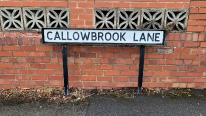
The split is particularly visible along Callowbrook Lane, where this invisible boundary runs down the middle of the street, separating residential homes on either side. Other streets falling across the boundary include Rednal Hill Lane and Eachway Lane.
Of course, health standards aren't as simple as the maps suggest - there is far more to the picture than meets the eye, with inequality driven by complex social factors. But the data cleanly lays bare the luck of the postcode lottery between rural and urban boundaries.