The United Kingdom is preparing for a second significant wintry blast this November, with forecasts predicting a four-day freeze that will impact all four Home Nations.
Widespread Snow and Ice Warnings Issued
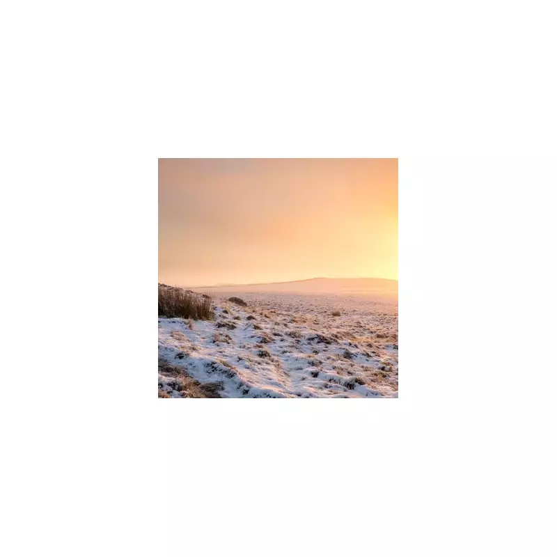
Fresh weather maps from WXCharts indicate that from Tuesday, November 18, through to Friday, November 21, substantial snowfall is expected across large parts of northern England, Wales, Northern Ireland, and Scotland. This follows a previous spell of snow earlier in the week.
The Met Office has issued multiple yellow weather warnings for snow and ice, which are in effect for parts of Scotland and northern England from Monday through Thursday. These warnings highlight potential travel disruptions and hazardous conditions.

Health Alerts Activated for Vulnerable
In response to the severe forecast, the UK Health Security Agency has escalated its warnings to amber level for specific regions. These areas include north-east England, north-west England, and Yorkshire and the Humber.
The alerts, active from noon on Monday until 8am on Saturday, signal a heightened risk to health for individuals aged over 65 and those with pre-existing health conditions, such as respiratory and cardiovascular diseases. The rest of England remains under a yellow health warning for the same period.
Detailed Forecast and Travel Disruption
Jo Farrow, a forecaster from Netweather TV, provided a detailed breakdown of the expected conditions. She warned of a "tricky mix of rain, sleet and snow with the risk of ice" for Tuesday morning, particularly affecting higher routes in the Central Belt, Southern Uplands, and Pennine routes into the Yorkshire Dales.
"The main focus of the wintry mix will be over NW England and western Scotland on Tuesday morning," Ms Farrow stated. "One pulse looks to move across the Pennines, Cumbria Fells and the Yorkshire Dales in the morning. This could move across to the North Yorkshire Moors by lunchtime with snow over the hills and high-level routes."
She added that while showers will affect Northern Ireland, the Irish Sea, Wales, and southwest England, eastern Britain can expect brighter spells and lighter winds. However, the risk of ice will persist through Tuesday night as the low-pressure system moves southeast.
Residents across the affected regions are advised to stay updated with the latest forecasts and travel advice, and to check on vulnerable neighbours during this period of severe weather.