
Detailed weather projections have pinpointed the exact areas of England set to be spared a major winter onslaught, as a severe cold snap dubbed a 'snow bomb' prepares to hit the UK in early January.
Which Counties Will Avoid the Worst?
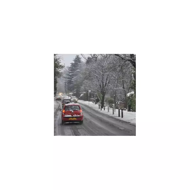
According to the latest data from WX Charts, which uses Met Desk information, a significant snowfall is forecast to blanket Scotland and parts of northern England from January 3rd. However, a large swathe of the country is expected to escape the worst of the conditions.
Maps indicate that up to 10mm of snow could accumulate in the hardest-hit regions, equivalent to around six inches. Yet, a total of 36 counties across England are currently projected to remain free of the snow.

The Full List of Areas Spared
The counties and regions set to avoid the disruptive snowfall include a broad sweep of central, eastern, and southern England. The list is extensive:
Bedfordshire, Berkshire, Buckinghamshire, Cambridgeshire, the City of London, Cornwall, Derbyshire, Devon, and Dorset are all on the list.
It continues with East Sussex and West Sussex, Essex, Gloucestershire, Greater Manchester, Hampshire, Herefordshire, Hertfordshire, the Isle of Wight, Kent, and Lancashire.
Furthermore, Leicestershire, Lincolnshire, Norfolk, Northamptonshire, Nottinghamshire, Oxfordshire, Rutland, Shropshire, Somerset, and Staffordshire are also expected to be spared.
The final set includes Suffolk, Surrey, Warwickshire, the West Midlands, Wiltshire, and Worcestershire.
Christmas Week Weather Outlook
In the lead-up to the cold snap, the Met Office forecast for Christmas week paints a milder, if murkier, picture. Their outlook describes a period of "mainly cloudy" conditions with spells of rain spreading north.
"A grey, rather gloomy day with widespread cloud low enough to give mist and hill fog widely across higher ground," the forecast states. It notes that outbreaks of rain and drizzle will spread northwest, feeling "mild for many."
The forecast for Monday, December 23rd, suggests "another cloudy day for many with widely low cloud and further outbreaks of rain, these heavy in places." However, it predicts drier conditions in the south with some bright spells possible by afternoon.
Looking ahead to the period from Tuesday to Thursday, the Met Office indicates that conditions will remain "mostly cloudy" but settled under high pressure, with just a few spots of rain. The forecaster crucially adds: "Becoming colder come Christmas Day."
This sets the stage for the sharper drop in temperatures and the potential for the widespread snow event modelled for the start of the New Year, primarily targeting Scotland and northern England while leaving dozens of English counties untouched.


