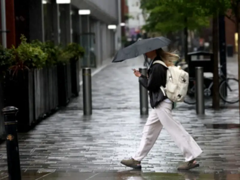
Birmingham and the wider West Midlands are bracing for heavy rain on Wednesday as a fresh wave of unsettled weather moves across the UK, according to the Met Office. The drenching follows a cooler Tuesday that brought sunny intervals and scattered showers to parts of northern England, Scotland, and Northern Ireland.
Rain Spreads Across the Midlands
The Met Office predicts that while rain in the far south-east of England will clear to leave widespread sunny spells, heavy and frequent showers across Scotland are set to spread more widely during the day. This brings a risk of thundery downpours in other regions, including the Midlands.
Areas in the Midlands expected to see rain on Wednesday include Birmingham, Coventry, Wolverhampton, Leicester, Nottingham, Derby, Stoke-on-Trent, Northampton, and Shrewsbury. The wet weather is part of a broader pattern affecting the UK, with forecasters warning of continued unsettled conditions through the rest of the week.
Northerly Wind Brings Cooler Temperatures
A Met Office spokesperson confirmed: "A northerly wind develops for the next few days, allowing temperatures to drop below average. Thunder showers for Thursday and Friday, but brighter and drier for Saturday." This cooler trend is expected to impact the Midlands and the rest of the country as the week progresses.
The drop in temperatures follows a period of warmer weather, but the shift to a northerly airflow will bring a noticeable chill. Residents are advised to prepare for cooler days and the possibility of thunderous conditions, particularly on Thursday and Friday.
Weekend Outlook Brings Some Relief
Looking ahead to the weekend, the Met Office offers a more positive outlook. From Saturday, a ridge of high pressure is set to bring largely dry and settled conditions across the UK. The spokesperson added: "This period is likely to start largely dry and settled across the UK, as a ridge of high pressure sets in. A few showers are likely in the far north and possibly the far southeast though."
For Birmingham and the Midlands, this means a drier and brighter end to the week, providing some respite after the midweek downpours. However, the unsettled weather earlier in the week underscores the need for residents to stay updated on the latest forecasts as conditions evolve.