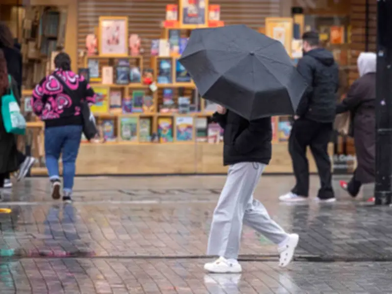
The Met Office has forecast widespread thunderstorms across the UK on Wednesday, with Birmingham among 134 areas expected to experience heavy rain. The warning follows a summer of intense heat and comes as forecasters describe a developing "Spanish plume type of system" — what the Met Office calls "the UK's most explosive weather phenomenon."
What is a Spanish plume?
A Spanish plume occurs when warm air travelling northwards from Spain rises and subsequently cools, triggering the formation of thunderclouds. The Met Office explains: "As cooler air spreads from the west, instability increases and the very warm air rises through the cooler air, enhancing the formation of thunderstorms."
The phenomenon is expected to arrive in the UK on Wednesday, bringing rain to large swathes of the south and southwest during the morning, before pushing eastwards throughout the day. By 10am, rainfall is set to intensify across south Wales, the southwest and central England, according to the Mirror, before sweeping northwards during the day, reaching Manchester and Liverpool by the afternoon.
Birmingham forecast and affected areas
Come 4pm, forecasts show heavy downpours for much of the Midlands, including Nottingham, Birmingham and Leicester. The band of rain will then continue its northward push, soaking areas such as Huddersfield and Harrogate by around 7pm. The Met Office's forecast for this period states: "Low pressure moving in from the southwest will bring an unsettled period, with heavy downpours and thunderstorms likely each day. Turning increasingly humid, with temperatures staying a little above average."
The 134 areas listed in the forecast include, among others: Lynton, Dulverton, Chard, Taunton, Bridgwater, Minehead, Weston-super-Mare, Weymouth, Basingstoke, Petersfield, Guildford, Crawley, Royal Tunbridge Wells, Hastings, Tenterden, Ashford, Maidstone, Rochester, Westerham, Epsom, Dartford, Canterbury, Dover, Bromley, Hounslow, London, Slough, High Wycombe, Reading, Newbury, Bath, Foxham, Swindon, Faringdon, Witney, Didcot, Chipping Norton, Bourton-on-the-Water, Gloucester, Ledbury, Evesham, Cardiff, Newport, Llantwit Major, Swansea, Burry Port, Maesteg, Merthyr Tydfil, Pontypridd, Carmarthen, Ystradgynlais, St David's, Fishguard, Cardigan, Llangolman, Tregaron, Worcester, Stratford-upon-Avon, Bicester, Banbury, Buckingham, Llanwddyn, Pwllheli, Oswestry, Wrexham, Nantwich, Flint, St Asaph, Caernarfon, Warrington, Chesterfield, Birmingham, Coventry, Nuneaton, Leicester, Lutterworth, Bridgnorth, Wolverhampton, Reddish, Knighton, Builth Wells, Aberystwyth, Northampton, Milton Keynes, Cambridge, Royston, Saffron Walden, Stevenage, Luton, Newmarket, Colchester, Southampton, Brockenhurst, Margate, Hay-on-Wye, Manchester, Burnley, Blackpool, Liverpool, Southport, Wigan, Huddersfield, Hull, Grantham, Melton Mowbray, Stamford, Uttoxeter, Stafford, Matlock, Macclesfield, Nottingham, Ruthin, Peterborough, Huntingdon, March, Ipswich, Felixstowe, St Albans, Ely, Thetford, Norwich, Lowestoft, Aldeburgh, Lessingham, Lincoln, Preston, Bolton, Leeds, Wakefield, Harrogate, Scunthorpe, Lancaster, Broughton In Furness, and Workington.
Birmingham's detailed forecast
For Birmingham specifically, the Met Office forecast has a 60 percent chance of rain on Wednesday, although temperatures are set to be around 24C across the day. The wet weather is set to continue throughout Thursday and Friday along with warm temperatures. On Saturday, the forecast is set to be dry, with wet weather returning on Sunday.
The forecast for today (August 24) states: "Morning fog patches soon clearing to leave a fine day, with plenty of sunny spells. Perhaps some cloudier moments in the east later in the afternoon. Feeling pleasantly warm in the sunshine, with an easterly breeze developing." For Wednesday to Friday, it says: "Low pressure moving in from the southwest will bring an unsettled period, with heavy downpours and thunderstorms likely each day. Turning increasingly humid, with temperatures staying a little above average."