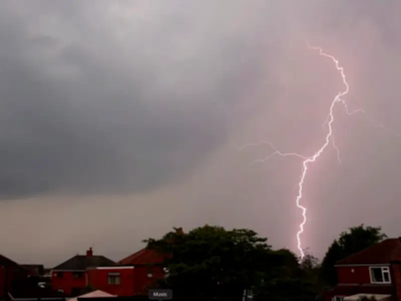
The Met Office has warned that heavy rain and thunderstorms are possible across the Midlands next week, as the region's weather turns unsettled from midweek. Forecasters expect the weekend to end with plenty of sunny spells before conditions deteriorate from Wednesday, August 26.
Sunny weekend before unsettled conditions
Sunday, August 23, is set to be a fresh start with any early mist and fog patches quickly clearing. It will feel pleasant in the sunshine with highs of around 22C, although temperatures are expected to drop into single figures overnight.
Monday, August 24 is forecast to be another dry, fine day with sunny spells and some cloud, reaching highs of 23C. The dry start continues into Tuesday morning, but showers are likely during Tuesday afternoon, August 25, according to the Met Office.
Heavy rain and thunderstorms from Wednesday
From Wednesday, August 26, the weather becomes unsettled with a risk of heavy rain and thunderstorms. The Met Office notes it will be warmer and more humid for a time as the change arrives.
The Met Office's outlook for August 27 to September 5 states: "A relatively unsettled start to this period, as showers or longer spells of rain are possible across many parts of the UK. Some heavy bursts and thunderstorms are likely at times. It will likely remain changeable into early September, with rainfall amounts probably above average for the time of year and the potential for some stronger winds at times."
Further outlook and temperatures
The forecast adds: "However, some drier, more settled interludes could develop at times. Temperatures are likely to be near average, although some short-lived warm or hot spells are possible, especially in the south."
Residents across the Midlands should prepare for potentially disruptive weather from midweek, with the possibility of heavy downpours and thunderstorm activity. The unsettled pattern is expected to persist into early September, with rainfall amounts likely above average for the time of year.