
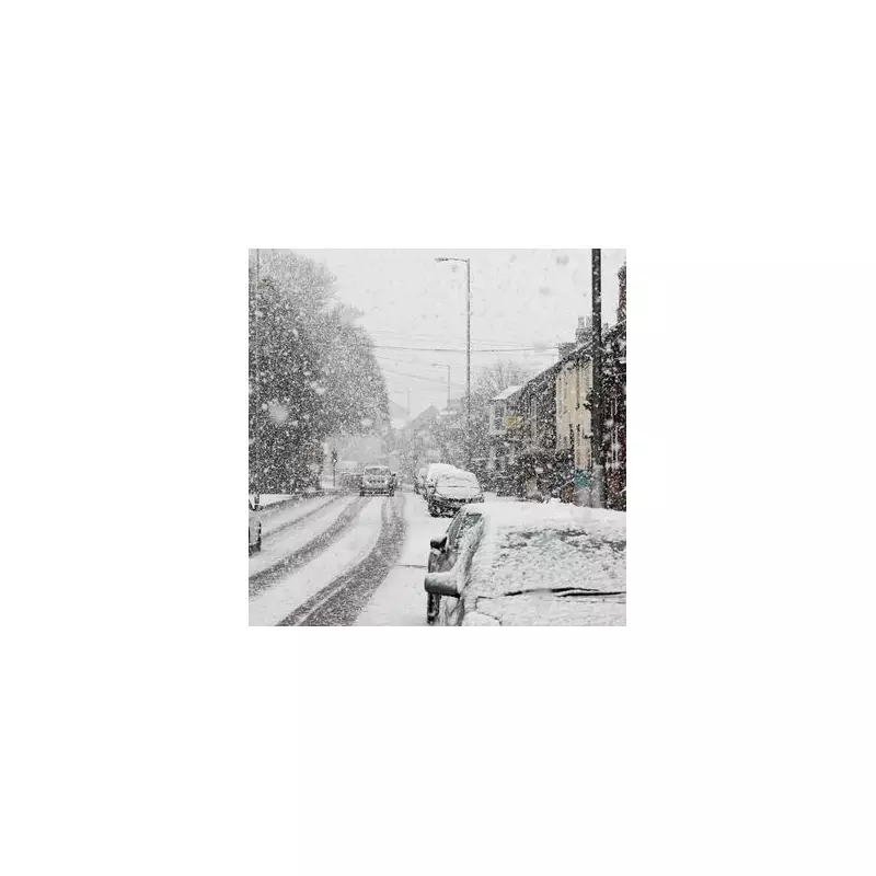
Midlands Braces for Significant Snowfall as Weather Maps Predict 4.1cm Accumulation
Weather forecasting services have issued a detailed prediction indicating that parts of the Midlands could experience substantial snowfall this week, with specific towns facing up to 4.1cm of accumulation. The latest meteorological data reveals a developing weather pattern that could bring wintery conditions to the region as January draws to a close.
Targeted Snowfall for Staffordshire and Northern Fringes
According to the latest analysis from WX Charts, a distinct band of snowy weather is expected to affect the northern areas of the Midlands this Friday, January 30. The weather maps display a prominent purple band indicating snowfall concentration, primarily confined to the North of England but extending its influence southward to the northern edges of Staffordshire.
The town of Leek is forecast to experience the most significant impact, with predictions suggesting 4.1cm (approximately 1.6 inches) of snow per hour arriving at precisely 3am on Friday morning. This substantial accumulation could create challenging travel conditions and require residents to take appropriate winter precautions.

Varied Impact Across the Region
Neighbouring areas will experience different levels of snowfall according to the detailed forecasts:
- Cheadle, located near the popular Alton Towers attraction, is predicted to receive 2.1cm (0.8 inches) of snowfall arriving simultaneously at 3am on Friday
- Staffordshire Moorlands could also see accumulation reaching 4.1cm, matching the forecast for Leek
- Eastern towns surrounding Stoke-on-Trent are expected to receive peppering snowfall as the weather system moves through the area
The meteorological picture changes significantly further south in the West Midlands region, where snowfall is predicted to be considerably lighter. Current models suggest only minimal accumulation in the Black Country area, with approximately 0.2cm forecast. Birmingham appears set to escape the wintery weather entirely, with no significant snowfall predicted for the city.
Broader Weather Context and Official Outlook
The Met Office has provided additional context in its official weather outlook covering Friday through Sunday. Their forecast describes Friday as "unsettled with brisk winds" and "rather cloudy skies giving outbreaks of rain for many."
Looking ahead to the weekend, conditions are expected to improve with "brighter and becoming less breezy weather for most, albeit with scattered showers still possible." This suggests that while Friday may bring challenging winter conditions to specific Midlands locations, the weekend could offer some relief from the unsettled weather pattern.
Residents in affected areas are advised to monitor official weather updates and prepare for potential travel disruptions as the forecast period approaches. The specificity of the predictions, including exact timing and accumulation amounts, provides valuable information for communities to make necessary preparations for the anticipated winter weather event.


