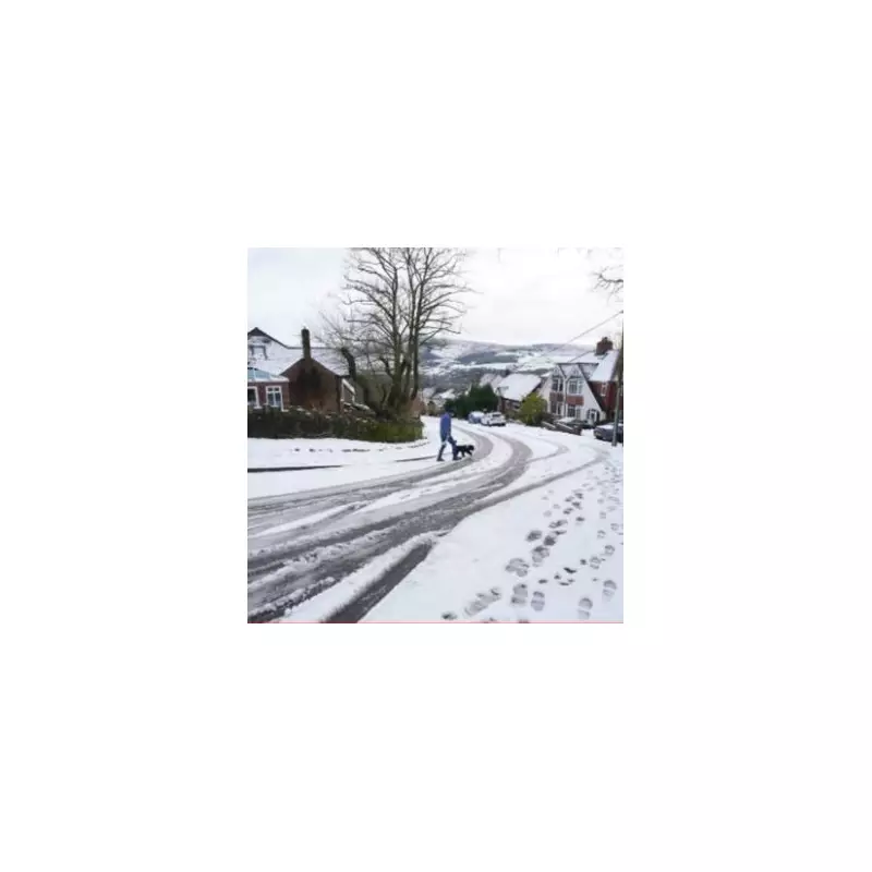
Midlands Prepares for Major Snow Event as Arctic Air Mass Approaches
A significant Arctic weather system is forecast to sweep across the United Kingdom next week, bringing plummeting temperatures and substantial snowfall to multiple regions. Weather experts are warning of potential disruption as this cold air mass moves southward.
Widespread Snowfall Expected Across Central England
Detailed weather mapping indicates that a 500-mile snow band will affect numerous Midlands urban centres during the final week of January. The system is predicted to bring accumulations of up to three inches in Birmingham, with even heavier snowfall anticipated across Scottish highlands.
Major cities within the projected snow path include:
- Birmingham
- Wolverhampton
- Coventry
- Leicester
- Nottingham
- Derby
- Stoke-on-Trent
Transport Networks Face Potential Disruption
This Arctic blast arrives shortly after the recent Storm Goretti, raising concerns about further travel chaos across the region. Road networks, public transport services, and airport operations could all experience significant delays as the wintry conditions develop.
Meteorological projections show most of the UK blanketed in snow by Wednesday, January 28, with the most severe conditions expected over elevated terrain. Temperatures are forecast to drop into low single digits as the cold air establishes itself across the country.
Extended Period of Wintry Weather Forecast
The Met Office's extended outlook for January 25 to February 3 indicates that weather systems approaching from the Atlantic will encounter blocking high pressure to the north and northeast. This atmospheric configuration is likely to cause these systems to stall near the UK, resulting in prolonged periods of precipitation.
Their official forecast states: "Weather systems moving in from the Atlantic will continue to attempt to push in from the west, but tending to stall in the vicinity of the UK as they encounter high pressure to the north and northeast. As a result, further spells of rain or showers are likely at times."
The meteorological service further notes that while milder conditions may occasionally reach southern and southwestern areas, the overall trend will be toward colder temperatures throughout this period. This thermal shift increases the probability of snow showers, particularly across hills in Scotland and northern England.
Residents across affected areas are advised to monitor weather updates closely and prepare for potentially hazardous travel conditions as this significant winter weather event develops.


