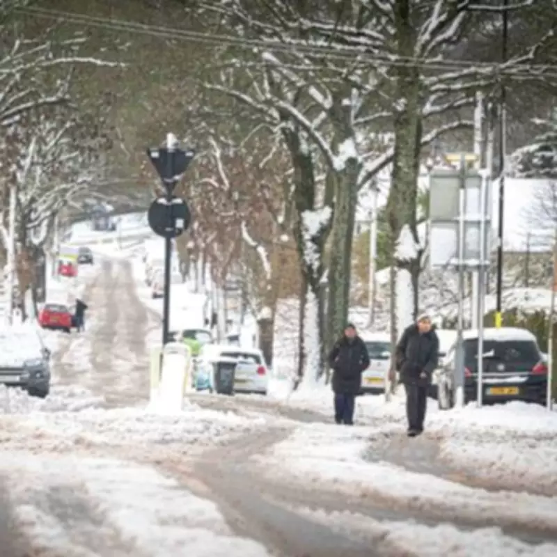
Fresh winter weather warnings have been issued for the Midlands region this week, with detailed forecasts confirming significant snowfall is expected to blanket numerous towns and cities. New meteorological data indicates that a substantial snow event is poised to disrupt travel and daily routines across central England.
Major Snow Event Set to Sweep Across Britain
Weather mapping services have identified a formidable 522-mile wall of snow that will traverse the length of Britain, arriving on Sunday, February 15. This extensive weather system is forecast to bring wintry conditions to England, Scotland, and Wales simultaneously, with the Midlands positioned to receive some of the most notable accumulations.
Detailed Hour-by-Hour Forecast for Key Locations
In Birmingham, the snowfall is scheduled to commence at 3am on Sunday morning. Initial projections suggest the city will receive approximately 1.1 centimetres of snow during the early hours, with an additional 1.5 centimetres expected to fall by 6am. This pattern indicates residents could experience around three consecutive hours of persistent snowfall, potentially creating challenging morning conditions.

Neighbouring areas within the Black Country are preparing for similar disruptions. Weather models predict that Wolverhampton, Dudley, and Walsall will all see approximately 2 centimetres of snow arriving at 3am, with precipitation rates easing to around 1.3 centimetres by 6am.
Northern Midlands Areas Face Heaviest Accumulations
Further north within the region, some locations are bracing for even more substantial snowfall. Areas of Staffordshire, including Stone, could receive up to 2.6 centimetres of snow accumulation by 6am on Sunday. Similarly, Stoke-on-Trent is forecast to face approximately 2.7 centimetres of snowfall arriving during the same early morning period.
Additional Midlands towns are included in the weather advisory. Kidderminster in Worcestershire is expected to receive around 2 centimetres of snow starting at 3am, while Shrewsbury in Shropshire could also experience a similar 2 centimetre blanketing of snowfall during the early hours of Sunday.
Met Office Issues Extended Weather Outlook
The national weather service has provided additional context through its long-range forecast covering Saturday, February 14, through Monday, February 23. Meteorological experts warn that colder conditions may become established across northern and northeastern parts of the country following this weekend's snow event.
The Met Office forecast states: "After a briefly quieter spell associated with some colder conditions, Atlantic frontal zones look to make a return near the start of this period. The track of these depressions may be a little further north than over the preceding weeks, but will continue to bring broadly unsettled weather to many areas, with further spells of rain and perhaps strong winds at times."
The forecast continues: "With the westerly influence, it should become somewhat milder for many, though there remains the chance that colder conditions could affect northern and northeastern parts from time to time."
Residents across the Midlands are advised to monitor local weather updates and prepare for potential travel disruptions as this significant winter weather system approaches the region.