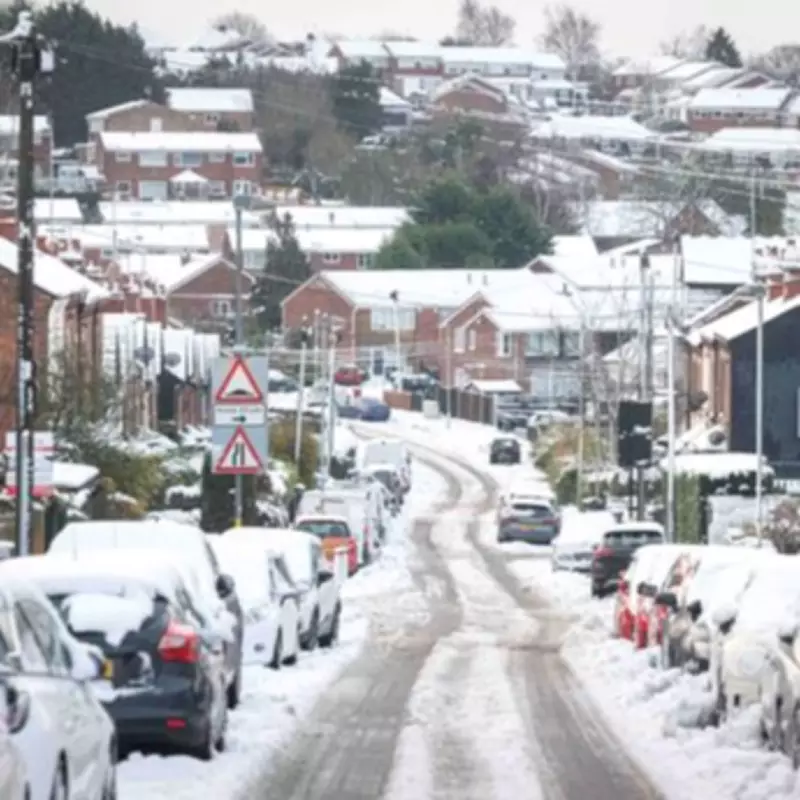
Major Snowstorm Forecast to Hit Birmingham and Five Other UK Cities This Weekend
A colossal winter storm is set to bring significant snowfall to numerous cities across the United Kingdom, commencing on Valentine's Day. Advanced weather forecasting maps have revealed that large parts of the country, including Birmingham, could be peppered by snow in the coming days.
Timeline and Geographic Spread of the Snowfall
According to reports from Express.co.uk, the snow is expected to initially hit Northern Ireland and parts of northern Scotland on Saturday evening, which coincides with Valentine's Day. Heavy snowfall is also anticipated in Ireland around 9pm. The GFS weather model indicates that the snow will then shift eastwards, covering almost all of England, Wales, and Scotland.
Maps for approximately 3am on Sunday illustrate snow falling from the south coast of England right up to the far north of Scotland. Major cities including Birmingham, Manchester, Liverpool, Newcastle, Edinburgh, and Glasgow seem to be directly in the storm's path.

Intensity and Accumulation Predictions
Where snowfall is most intense over hilly parts, data indicates it could fall at an astonishing rate of around four inches per hour. By around 6am, the maps indicate that the snow will have reached London as it continues its eastward drift, also falling over East Anglia and parts of Yorkshire.
Snow depth charts indicate that by Sunday morning, hills in northern Scotland could be blanketed with 162cm (63 inches) of snow. Southern Scotland could see 12cm (five inches), with 8cm (three inches) expected over hills in northern England. The Midlands and regions further south are likely to only see 1cm-2cm.
Met Office Forecast and Long-Term Outlook
The Met Office has hinted that snow could make a return to the UK soon. In its forecast for Thursday to Saturday, the national weather service indicates conditions will become chillier on Friday with a chance of snow showers, particularly in the north.
Its outlook for February 15 to 24 reads: Showers or longer spells of rain are expected as Atlantic low pressure systems dominate in the vicinity of the UK. Some heavy rain is likely in places, probably focussed on western hills, with some snow at times in the north, mainly on high ground. Strong winds are possible at times, especially around coasts. Temperatures will probably be near normal. Later in the period, there is a chance that drier, more settled conditions may begin to develop.
The maps predict that most of the country will experience snowfall at some point this weekend, making it a significant weather event for residents across the UK.